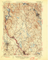
1944 Map of Berwick
USGS Topo · Published 1944About this map
The Salmon Falls River serves as the winding border between Maine and New Hampshire in this mid-century survey, anchoring a landscape of small industrial hubs and rural townships. Significant population centers like Rochester and Sanford show dense street grids and established rail connections via the Boston and Maine RR, while smaller communities such as Milton Mills and Springvale reflect the area's textile and milling heritage. The presence of the Great Falls Lower Hydro-Electric Plant near Somersworth highlights the river's transition from a merchant power source to a modern utility generator during the early 1940s.
Find a feature on this map
92 named features on this map. Tap any name to fly to it.
Don’t see what you’re looking for? This feature index may not catch every label — zoom into the map to look around manually.
Map Details
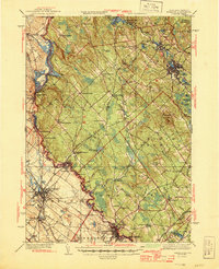
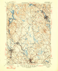
Editions of this 1944 Berwick Map
3 editions found
Other maps of this area

1891 · Berwick
USGS Topo · 1:62,500

1891 · Kennebunk
USGS Topo · 1:62,500

1891 · Buxton
USGS Topo · 1:62,500

1891 · Newfield
USGS Topo · 1:62,500

1892 · Buxton
USGS Topo · 1:62,500

1893 · Kennebunk
USGS Topo · 1:62,500

1893 · Dover
USGS Topo · 1:62,500

1893 · Berwick
USGS Topo · 1:62,500

1893 · York
USGS Topo · 1:62,500

1893 · Buxton
USGS Topo · 1:62,500