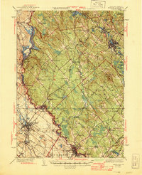
1944 Map of Berwick
USGS Topo · Published 1944About this map
The Salmon Falls River serves as the winding border between Maine and New Hampshire, anchoring a landscape defined by 1940s water power and rail transit. This survey, compiled from work in 1933 and 1941, details the industrial footprint of the Great Falls Lower Hydro-Electric Plant and the intricate network of the Boston and Maine RR. The map illustrates a dense collection of small rail-side communities like Eastwood Sta and Rindgemere Sta, alongside rural landmarks such as Blackberry Hill Sch and the Evergreen Cem near Berwick. From the heights of Bauneg Beg Mountain to the depths of Gate Swamp, the terrain reflects a mix of timbered uplands and developed valley floors. Genealogists can trace family holdings and local centers like Blaisdell Corners and Hayes Sta during the final years of the Second World War.
Find a feature on this map
92 named features on this map. Tap any name to fly to it.
Don’t see what you’re looking for? This feature index may not catch every label — zoom into the map to look around manually.
Map Details
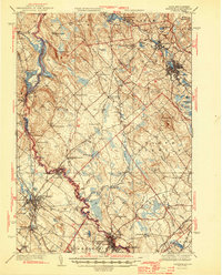
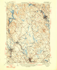
Editions of this 1944 Berwick Map
3 editions found
Other maps of this area

1891 · Berwick
USGS Topo · 1:62,500

1891 · Kennebunk
USGS Topo · 1:62,500

1891 · Buxton
USGS Topo · 1:62,500

1891 · Newfield
USGS Topo · 1:62,500

1892 · Buxton
USGS Topo · 1:62,500

1893 · Kennebunk
USGS Topo · 1:62,500

1893 · Dover
USGS Topo · 1:62,500

1893 · Berwick
USGS Topo · 1:62,500

1893 · York
USGS Topo · 1:62,500

1893 · Buxton
USGS Topo · 1:62,500