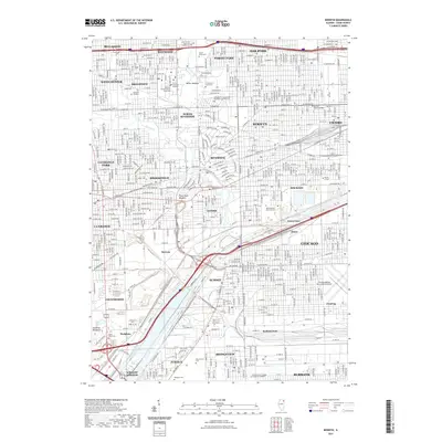
2021 Map of Berwyn
USGS Topo · Published 2021About this map
The Des Plaines River carves through the heart of this densely settled landscape, flanked by a massive concentration of institutional and community landmarks. This 2021 survey details the tight urban grid stretching from Maywood and Oak Park in the north down to Burbank and Bedford Park. The area is notably characterized by a high density of historic burial grounds, including the expansive Forest Home Cem, Waldheim Cem, and Resurrection Cem.
Find a feature on this map
84 named features on this map. Tap any name to fly to it.
Don’t see what you’re looking for? This feature index may not catch every label — zoom into the map to look around manually.
Map Details
Editions of this 2021 Berwyn Map
This is the sole edition of this map. No revisions or reprints were ever made.
Other maps of this area

1889 · Chicago
USGS Topo · 1:62,500

1890 · Des Plaines
USGS Topo · 1:62,500

1891 · Chicago
USGS Topo · 1:62,500

1891 · Riverside
USGS Topo · 1:62,500

1892 · Calumet
USGS Topo · 1:62,500

1893 · Calumet
USGS Topo · 1:62,500

1893 · Riverside
USGS Topo · 1:62,500

1894 · Des Plaines
USGS Topo · 1:62,500

1900 · Chicago
USGS Topo · 1:62,500

1900 · Des Plaines
USGS Topo · 1:62,500