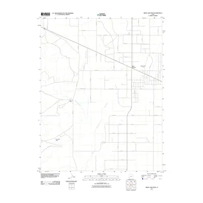
2011 Map of Beryl Junction
USGS Topo · Published 2011About this map
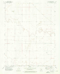
Beryl Junction serves as the focal point of this Iron County landscape, where the intersection of straight-line agricultural roads meets the industrial infrastructure of the eastern Escalante Valley. The map documents the presence of the Escalante Mine and its supporting water system, the Escalante Mine Canal, which cuts a distinct diagonal across the surveyed grid. To the south, the natural drainage of Shoal Creek and Pinon Park Wash meander through the terrain, contrasting with the rigid geometry of roads like Helca Mine Rd and Moyle Rd. The presence of the Beryl Junction Airport underscores the importance of this small settlement as a regional transit point for the surrounding high-desert mining and farming operations during the early 21st century.
Find a feature on this map
34 named features on this map. Tap any name to fly to it.
Don’t see what you’re looking for? This feature index may not catch every label — zoom into the map to look around manually.
Map Details
Editions of this 2011 Beryl Junction Map
This is the sole edition of this map. No revisions or reprints were ever made.
Other maps of this area

1885 · St. George
USGS Topo · 1:250,000

1891 · St. George
USGS Topo · 1:250,000

1953 · Cedar City
USGS Topo · 1:250,000

1958 · Cedar City
USGS Topo · 1:250,000

1962 · Cedar City
USGS Topo · 1:250,000
1972 · Yale Crossing
USGS Topo · 1:24,000
1972 · Pinto
USGS Topo · 1:24,000

1972 · Pinon Point
USGS Topo · 1:24,000
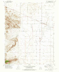
1972 · Beryl Junction
USGS Topo · 1:24,000
1972 · Clark Farm
USGS Topo · 1:24,000