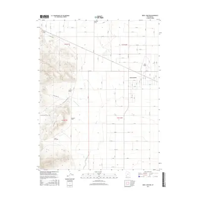
2017 Map of Beryl Junction
USGS Topo · Published 2017About this map
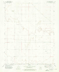
Beryl Junction serves as the focal point of this Iron County landscape, where the agricultural grid of the Escalante Valley meets the high desert terrain. The area's water management is clearly defined by the Escalante Mine Canal and the course of Shoal Creek, which cut through the Escalante Desert toward the western hills. To the west, the topography rises sharply at Pinon Point, marked by a network of mining roads including the Escalante Mine Loop and the Escalante Mine - Silver Mine. This industrial footprint contrasts with the strictly organized section lines and residential blocks of the junction. Local history is anchored by the John McGarry Memorial Park Cem and the Beryl Junction Airport, reflecting the community's mid-century development and its reliance on both local mining and valley transit.
Find a feature on this map
60 named features on this map. Tap any name to fly to it.
Don’t see what you’re looking for? This feature index may not catch every label — zoom into the map to look around manually.
Map Details
Editions of this 2017 Beryl Junction Map
This is the sole edition of this map. No revisions or reprints were ever made.
Other maps of this area

1885 · St. George
USGS Topo · 1:250,000

1891 · St. George
USGS Topo · 1:250,000

1953 · Cedar City
USGS Topo · 1:250,000

1958 · Cedar City
USGS Topo · 1:250,000

1962 · Cedar City
USGS Topo · 1:250,000
1972 · Yale Crossing
USGS Topo · 1:24,000
1972 · Pinto
USGS Topo · 1:24,000

1972 · Pinon Point
USGS Topo · 1:24,000
1972 · Beryl Junction
USGS Topo · 1:24,000
1972 · Clark Farm
USGS Topo · 1:24,000