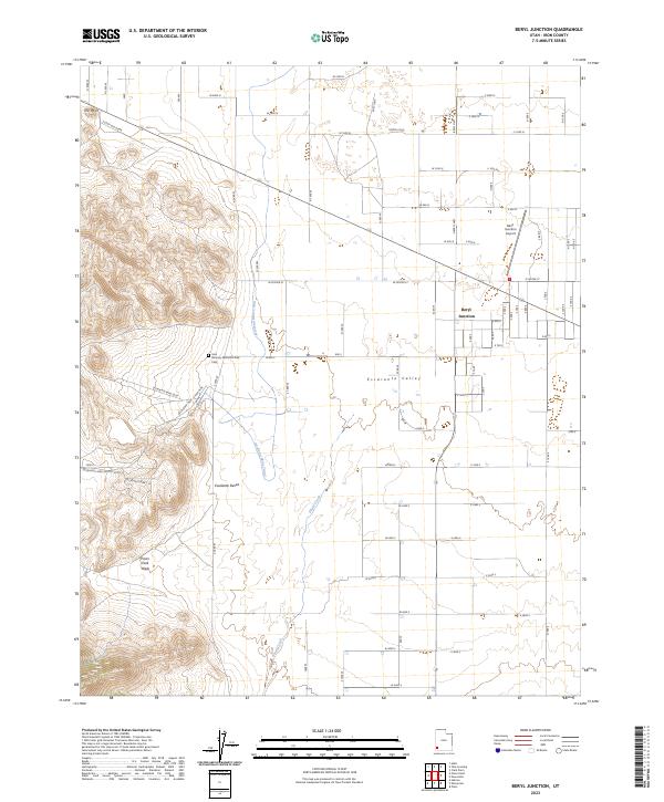
2023 Map of Beryl Junction
USGS Topo · Published 2023About this map
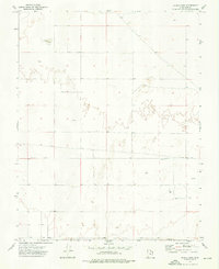
Escalante Valley defines the landscape of this high desert region, where the grid of agricultural roads meets the industrial infrastructure of the Escalante Desert. The central settlement of Beryl Junction serves as the hub for this remote area, situated near the Beryl Junction Airport and several major mining access routes like the Escalante Mine Loop. The integration of water management and resource extraction is evident in the presence of the Escalante Mine Canal and the natural drainage of Shoal Creek, which cut through the level terrain. Genealogists and local historians will find the John McGarry Memorial Park Cem west of the junction, a significant landmark in a territory characterized by its vast open spaces and mining legacy, from the Escalante Mine Silver Mine to the higher elevations near The Point.
Find a feature on this map
52 named features on this map. Tap any name to fly to it.
Don’t see what you’re looking for? This feature index may not catch every label — zoom into the map to look around manually.
Map Details
Editions of this 2023 Beryl Junction Map
This is the sole edition of this map. No revisions or reprints were ever made.
Other maps of this area

1885 · St. George
USGS Topo · 1:250,000

1891 · St. George
USGS Topo · 1:250,000

1953 · Cedar City
USGS Topo · 1:250,000

1958 · Cedar City
USGS Topo · 1:250,000

1962 · Cedar City
USGS Topo · 1:250,000
1972 · Yale Crossing
USGS Topo · 1:24,000
1972 · Pinto
USGS Topo · 1:24,000

1972 · Pinon Point
USGS Topo · 1:24,000
1972 · Beryl Junction
USGS Topo · 1:24,000
1972 · Clark Farm
USGS Topo · 1:24,000