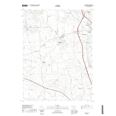
2019 Map of Bessemer
USGS Topo · Published 2019About this map
The Shenango River and Mahoning River converge in this corner of Lawrence County, forming the headwaters of the Beaver River near Moravia. The landscape is defined by this river-and-rail nexus, where Lawrence Junction and Mahoningtown sit at a critical transportation junction just south of New Castle. This modern record highlights the density of civic and religious history in the region, noting several significant places of worship including the Swedish Mission Covenant Church and the historically named Mount Jackson Battery B Methodist Episcopal Church. The transition from the industrial valley floor to the upland plateaus is marked by small settlements like Mount Jackson and Mount Air. Genealogists will find a wealth of burial records across the quadrangle, from the Madonna Cem in Westview Heights to the remote Westfield Presbyterian Cem near Derringer Corners.
Find a feature on this map
87 named features on this map. Tap any name to fly to it.
Don’t see what you’re looking for? This feature index may not catch every label — zoom into the map to look around manually.
Map Details
Editions of this 2019 Bessemer Map
This is the sole edition of this map. No revisions or reprints were ever made.
Other maps of this area

1902 · New Castle
USGS Topo · 1:62,500

1904 · Newcastle
USGS Topo · 1:62,500

1905 · Neshannock
USGS Topo · 1:62,500

1906 · Youngstown
USGS Topo · 1:62,500

1907 · Neshannock
USGS Topo · 1:62,500

1907 · Columbiana
USGS Topo · 1:62,500

1908 · Youngstown
USGS Topo · 1:62,500

1909 · Columbiana
USGS Topo · 1:62,500

1950 · Cleveland
USGS Topo · 1:250,000

1951 · Canton
USGS Topo · 1:250,000