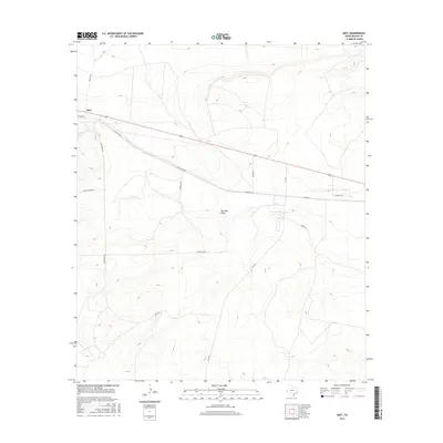
2016 Map of Best
USGS Topo · Published 2016About this map
Best sits at the northern edge of this Reagan County landscape, positioned along the historic transport corridor of Texon Rd and Highway 67. This region of West Texas is defined by its wide, open drainages and a sparse network of county roads that navigate the arid terrain. The primary hydrologic feature is Big Lake Draw, which winds through the center of the sheet, illustrating the natural drainage patterns of the Edwards Plateau.
Find a feature on this map
14 named features on this map. Tap any name to fly to it.
Don’t see what you’re looking for? This feature index may not catch every label — zoom into the map to look around manually.
Map Details
Editions of this 2016 Best Map
This is the sole edition of this map. No revisions or reprints were ever made.
Other maps of this area

1920 · Big Lake
USGS Topo · 1:62,500

1922 · Big Lake
USGS Topo · 1:62,500

1928 · Rankin
USGS Topo · 1:125,000

1954 · San Angelo
USGS Topo · 1:250,000

1958 · San Angelo
USGS Topo · 1:250,000

1965 · San Angelo
USGS Topo · 1:250,000
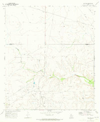
1970 · Texon SE
USGS Topo · 1:24,000

1970 · Garrison Draw
USGS Topo · 1:24,000

1970 · Gardener Draw
USGS Topo · 1:24,000
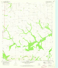
1970 · Divide Draw
USGS Topo · 1:24,000