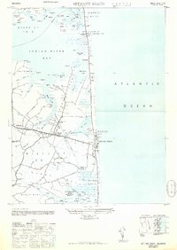
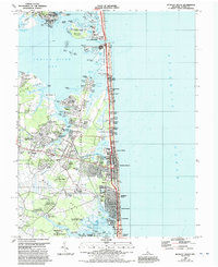
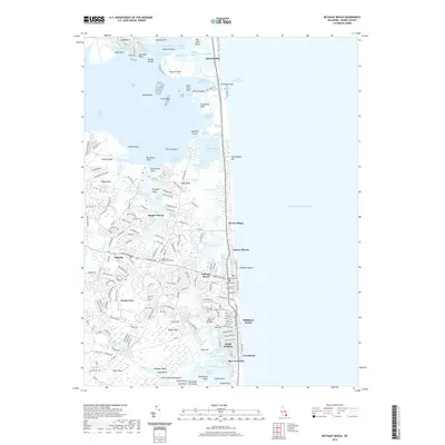
1948 Map of Bethany Beach
USGS Topo · Published 1949About this map
Bethany Beach and the neighboring inland settlements of Ocean View and Millville anchor this coastal landscape during the late 1940s. The map illustrates a transitional period for the Delaware shore, highlighting military and maritime infrastructure such as the Bethany Beach CG Sta Radio Direction Finder and a U S Army Camp. Strategic coastal positions are marked by several towers, including the Tower Indian River CG Sta near the Indian River Inlet.
Find a feature on this map
94 named features on this map. Tap any name to fly to it.
Don’t see what you’re looking for? This feature index may not catch every label — zoom into the map to look around manually.
Map Details
Editions of this 1948 Bethany Beach Map
This is the sole edition of this map. No revisions or reprints were ever made.
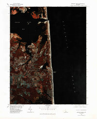
Historical Maps of Ocean View Through Time
10 maps found
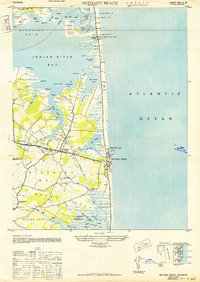
1943 Bethany Beach
Sussex County, DE
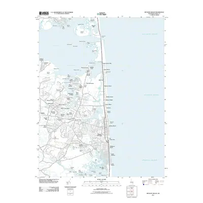
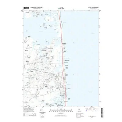
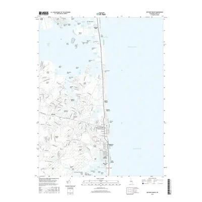
1948 Bethany Beach
Sussex County, DE
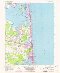
1954 Bethany Beach
Sussex County, DE
1980 Bethany Beach
Sussex County, DE
1984 Bethany Beach
Sussex County, DE
2011 Bethany Beach
Sussex County, DE
2014 Bethany Beach
Sussex County, DE
2016 Bethany Beach
Sussex County, DE
2019 Bethany Beach
Sussex County, DE
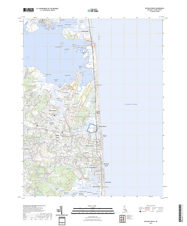
2023 Bethany Beach
Sussex County, DE