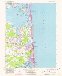
1954 Map of Bethany Beach
USGS Topo · Published 1982About this map
Bethany Beach and the neighboring settlements of Ocean View and Millville anchor this coastal survey, which highlights the area's development through the mid-20th century. The intricate shoreline of the Indian River Bay and White Creek is defined by family-named landmarks like Murry Landing and Quillens Pt, illustrating a landscape deeply tied to the water. The Assawoman Canal cuts through the lowlands, providing a critical waterway link behind the barrier islands where Sussex Shores and South Bethany were beginning to take shape. Inland, the map captures essential community hubs such as the Lord Baltimore High Sch and the Banks Cem, while the extensive Salt Marsh and Broken Marshes to the north reflect the persistent natural character of the Sussex County coast before intensive modern expansion altered these tidal ecosystems.
Find a feature on this map
106 named features on this map. Tap any name to fly to it.
Don’t see what you’re looking for? This feature index may not catch every label — zoom into the map to look around manually.
Map Details
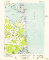
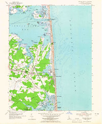
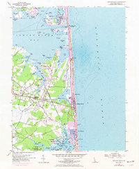
Editions of this 1954 Bethany Beach Map
4 editions found
Other maps of this area

1901 · Ocean City
USGS Topo · 1:62,500

1918 · Rehoboth
USGS Topo · 1:62,500

1938 · Rehoboth
USGS Topo · 1:62,500

1942 · Ocean City
USGS Topo · 1:62,500

1943 · Selbyville
USGS Topo · 1:31,680
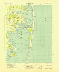
1943 · Assawoman Bay
USGS Topo · 1:31,680

1943 · Fairmount
USGS Topo · 1:24,000
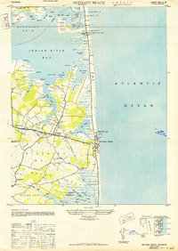
1943 · Bethany Beach
USGS Topo · 1:24,000
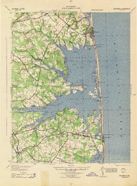
1944 · Rehoboth
USGS Topo · 1:62,500

1946 · Salisbury
USGS Topo · 1:250,000