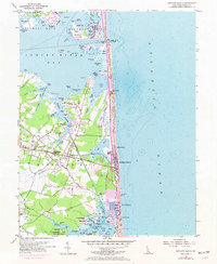
1954 Map of Bethany Beach
USGS Topo · Published 1973About this map
Bethany Beach and the surrounding coastal communities of Sussex Shores and Middlesex Beach characterize this mid-century survey of the Delaware shoreline. The map illustrates a transitional landscape where established inland towns like Millville and Ocean View meet the developing resort properties along Fenwick Island. Significant maritime infrastructure is evident at the Indian River Inlet, featuring the Indian River Yacht Basin and the C.W. Cullen Bridge, which connects the northern and southern coastal districts.
Find a feature on this map
109 named features on this map. Tap any name to fly to it.
Don’t see what you’re looking for? This feature index may not catch every label — zoom into the map to look around manually.
Map Details
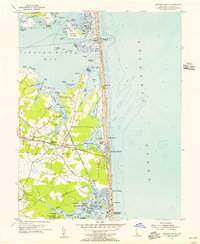
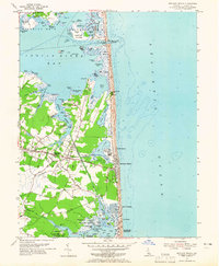
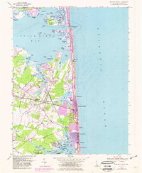
Editions of this 1954 Bethany Beach Map
4 editions found
Other maps of this area

1901 · Ocean City
USGS Topo · 1:62,500

1918 · Rehoboth
USGS Topo · 1:62,500

1938 · Rehoboth
USGS Topo · 1:62,500

1942 · Ocean City
USGS Topo · 1:62,500

1943 · Selbyville
USGS Topo · 1:31,680
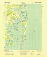
1943 · Assawoman Bay
USGS Topo · 1:31,680

1943 · Fairmount
USGS Topo · 1:24,000
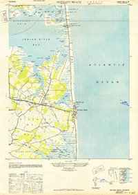
1943 · Bethany Beach
USGS Topo · 1:24,000
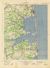
1944 · Rehoboth
USGS Topo · 1:62,500

1946 · Salisbury
USGS Topo · 1:250,000