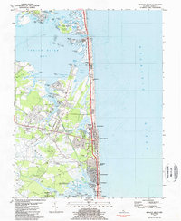
1984 Map of Bethany Beach
USGS Topo · Published 1984About this map
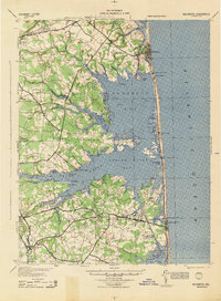
The coastal community of Bethany Beach and its neighboring beach towns occupy a narrow strip of land between the Atlantic Ocean and the salt marshes of Indian River Bay. This 1984 record documents a landscape defined by water and recreational growth, from the established streets of Ocean View and Millville to the southern reach of Fenwick Island. The map captures the intricate drainage network of White Creek and the sprawling wetlands preserved within the Assawoman Bay Wildlife Area and Delaware Seashore State Park.
Find a feature on this map
119 named features on this map. Tap any name to fly to it.
Don’t see what you’re looking for? This feature index may not catch every label — zoom into the map to look around manually.
Map Details
Editions of this 1984 Bethany Beach Map
2 editions found
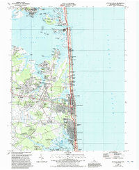
Other maps of this area

1901 · Ocean City
USGS Topo · 1:62,500

1918 · Rehoboth
USGS Topo · 1:62,500

1938 · Rehoboth
USGS Topo · 1:62,500

1942 · Ocean City
USGS Topo · 1:62,500

1943 · Selbyville
USGS Topo · 1:31,680
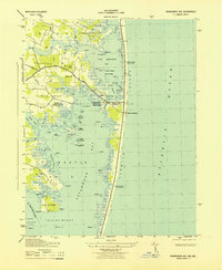
1943 · Assawoman Bay
USGS Topo · 1:31,680

1943 · Fairmount
USGS Topo · 1:24,000
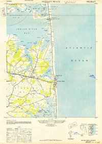
1943 · Bethany Beach
USGS Topo · 1:24,000
1944 · Rehoboth
USGS Topo · 1:62,500

1946 · Salisbury
USGS Topo · 1:250,000