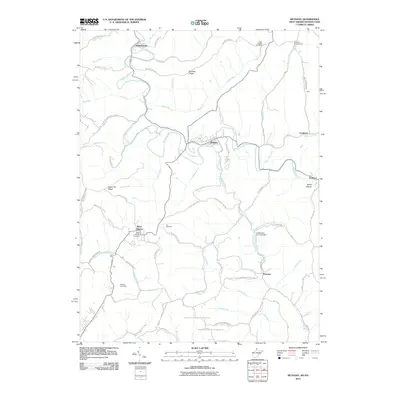
2010 Map of Bethany
USGS Topo · Published 2010About this map
The town of Bethany serves as a focal point in this 2010 topographic study, situated along the winding course of Buffalo Creek. This area of the West Virginia-Pennsylvania border exhibits a landscape deeply etched by numerous waterways, including Mingo Run, Castleman Run, and Short Creek. The settlement patterns here are defined by narrow valleys and prominent high ground such as Apple Pie Ridge and McAdoo Ridge.
Find a feature on this map
82 named features on this map. Tap any name to fly to it.
Don’t see what you’re looking for? This feature index may not catch every label — zoom into the map to look around manually.
Map Details
Editions of this 2010 Bethany Map
This is the sole edition of this map. No revisions or reprints were ever made.
Other maps of this area

1902 · Wheeling
USGS Topo · 1:62,500

1904 · Steubenville
USGS Topo · 1:62,500

1904 · Burgettstown
USGS Topo · 1:62,500

1906 · Burgettstown
USGS Topo · 1:62,500

1907 · Claysville
USGS Topo · 1:62,500

1935 · Wheeling
USGS Topo · 1:62,500

1935 · Steubenville
USGS Topo · 1:62,500

1942 · Wheeling
USGS Topo · 1:62,500

1942 · Steubenville
USGS Topo · 1:62,500

1951 · Canton
USGS Topo · 1:250,000