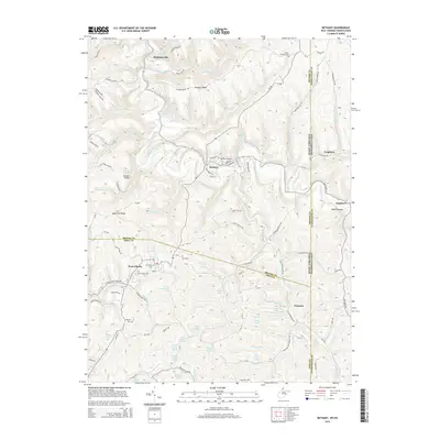
2014 Map of Bethany
USGS Topo · Published 2014About this map
The hills of the Northern Panhandle and the Pennsylvania border are defined here by a network of springs and small-scale collegiate settlements. Bethany College serves as a focal point in the north, while Liberty State Coll anchors the community of West Liberty further south. The landscape is notably dotted with numerous named natural springs, including the William Summerville Spring, McKay Spring, and Asher Childers Spring, suggesting a geography where local water sources were historically vital to homesteads. The map traces the winding course of Buffalo Creek and its many tributaries, such as Grog Run and Mingo Run, which carve through the terrain. Evidence of early settlement and genealogy remains visible through family-named sites like McAdoo Ridge, the Morgan Cem, and the Cox Cem tucked along the rural roads.
Find a feature on this map
90 named features on this map. Tap any name to fly to it.
Don’t see what you’re looking for? This feature index may not catch every label — zoom into the map to look around manually.
Map Details
Editions of this 2014 Bethany Map
This is the sole edition of this map. No revisions or reprints were ever made.
Other maps of this area

1902 · Wheeling
USGS Topo · 1:62,500

1904 · Steubenville
USGS Topo · 1:62,500

1904 · Burgettstown
USGS Topo · 1:62,500

1906 · Burgettstown
USGS Topo · 1:62,500

1907 · Claysville
USGS Topo · 1:62,500

1935 · Wheeling
USGS Topo · 1:62,500

1935 · Steubenville
USGS Topo · 1:62,500

1942 · Wheeling
USGS Topo · 1:62,500

1942 · Steubenville
USGS Topo · 1:62,500

1951 · Canton
USGS Topo · 1:250,000