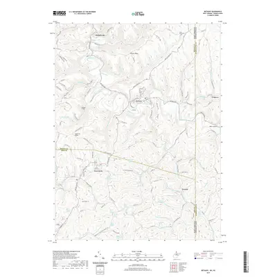
2019 Map of Bethany
USGS Topo · Published 2019About this map
Bethany and West Liberty anchor this 2019 survey of the West Virginia and Pennsylvania borderlands, where the landscape is defined by the winding course of Buffalo Creek. The map documents a territory marked by family history and small-scale settlements, from McKinleyville in the north to the community of Potomac in the south. Genealogists will find particular value in the distribution of rural burial sites, including the West Liberty Cem, Lower Buffalo Cem, Cox Cem, and Morgan Cem. Numerous named springs, such as Asher Childers Spring and Herbert Minch Spring, indicate the historical importance of reliable water sources across the ridges. Notable terrain features like Apple Pie Ridge and Bealls Ridge partition the numerous runs and hollows that feed into the larger creek systems of Brooke and Ohio counties.
Find a feature on this map
144 named features on this map. Tap any name to fly to it.
Don’t see what you’re looking for? This feature index may not catch every label — zoom into the map to look around manually.
Map Details
Editions of this 2019 Bethany Map
This is the sole edition of this map. No revisions or reprints were ever made.
Other maps of this area

1902 · Wheeling
USGS Topo · 1:62,500

1904 · Steubenville
USGS Topo · 1:62,500

1904 · Burgettstown
USGS Topo · 1:62,500

1906 · Burgettstown
USGS Topo · 1:62,500

1907 · Claysville
USGS Topo · 1:62,500

1935 · Wheeling
USGS Topo · 1:62,500

1935 · Steubenville
USGS Topo · 1:62,500

1942 · Wheeling
USGS Topo · 1:62,500

1942 · Steubenville
USGS Topo · 1:62,500

1951 · Canton
USGS Topo · 1:250,000