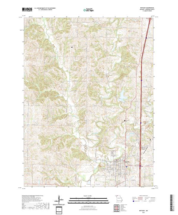
2021 Map of Bethany
USGS Topo · Published 2021About this map
Bethany serves as the center of Harrison County, its layout defined by the historic Harrison County Courthouse and a surrounding grid of streets like Miller St and River St. The landscape is etched by the convergence of the W Fork Big Cr and E Fork Big Cr, which flow toward the larger Big Cr to the south. Local water management is evident in the presence of both the Old Bethany City Lake and New City Lake, reflecting the community's reliance on these upland reservoirs. To the west, the terrain transitions into a patchwork of rural farm roads and small tributaries including Little Cr and Rocky Br. Family history is anchored in the outlying areas by Russ Cem, Phillebaum Cem, and Dale Cem, while the Bethany Memorial Airport marks the northeastern approach to the town. This survey illustrates the modern intersection of agricultural life and county administration in northern Missouri.
Find a feature on this map
54 named features on this map. Tap any name to fly to it.
Don’t see what you’re looking for? This feature index may not catch every label — zoom into the map to look around manually.
Map Details
Editions of this 2021 Bethany Map
This is the sole edition of this map. No revisions or reprints were ever made.
Other maps of this area

1925 · Pattonsburg
USGS Topo · 1:62,500

1925 · Gilman
USGS Topo · 1:62,500

1944 · Pattonsburg
USGS Topo · 1:62,500

1946 · Gilman
USGS Topo · 1:48,000

1946 · Pattonsburg
USGS Topo · 1:48,000

1947 · Blythedale
USGS Topo · 1:62,500

1948 · Gilman
USGS Topo · 1:62,500

1948 · Bethany
USGS Topo · 1:62,500

1948 · Pattonsburg
USGS Topo · 1:62,500

1954 · Centerville
USGS Topo · 1:250,000