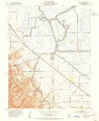
1952 Map of Bethany
USGS Topo · Published 1955About this map
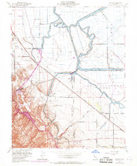
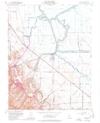
Victoria Island and the complex waterways of the San Joaquin Delta define this 1952 landscape, where the Old River meanders through a network of engineered levees and canals. The map illustrates a critical era of California water infrastructure, featuring the newly established Delta-Mendota Canal and the massive Tracy Pumping Sta alongside the Tracy Substation. These modern industrial additions contrast with the established agricultural settlements of Bethany and Herdlyn, which are connected by the Southern Pacific railroad line.
Find a feature on this map
41 named features on this map. Tap any name to fly to it.
Don’t see what you’re looking for? This feature index may not catch every label — zoom into the map to look around manually.
Map Details
Editions of this 1952 Bethany Map
6 editions found
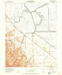
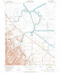
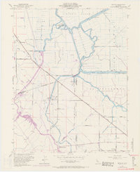
Other maps of this area

1907 · Tesla
USGS Topo · 1:62,500

1911 · Byron Hot Springs
USGS Topo · 1:31,680

1913 · Woodward Island
USGS Topo · 1:31,680

1913 · Holt
USGS Topo · 1:31,680

1914 · Brentwood
USGS Topo · 1:31,680

1914 · Bethany
USGS Topo · 1:31,680

1914 · Union Island
USGS Topo · 1:31,680

1916 · Byron Hot Springs
USGS Topo · 1:31,680

1916 · Byron
USGS Topo · 1:62,500

1916 · Tracy
USGS Topo · 1:31,680