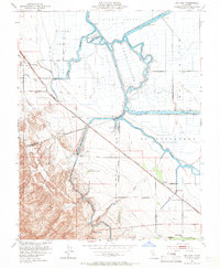
1952 Map of Bethany
USGS Topo · Published 1966About this map
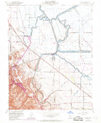
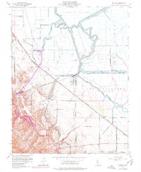
Victoria Island and the Clifton Court Tract define this mid-century landscape of reclaimed delta lands and complex hydrology. The map illustrates the sophisticated water management systems essential to the region, including the massive Delta-Mendota Canal and the Contra Costa Canal, which intersect the natural winding courses of the Old River and San Joaquin River. This era shows a transition in local transportation, where the Southern Pacific railroad and early thoroughfares like Byron Road serve established rural communities such as Bethany and Herdlyn.
Find a feature on this map
35 named features on this map. Tap any name to fly to it.
Don’t see what you’re looking for? This feature index may not catch every label — zoom into the map to look around manually.
Map Details
Editions of this 1952 Bethany Map
6 editions found
Other maps of this area

1907 · Tesla
USGS Topo · 1:62,500

1911 · Byron Hot Springs
USGS Topo · 1:31,680

1913 · Woodward Island
USGS Topo · 1:31,680

1913 · Holt
USGS Topo · 1:31,680

1914 · Brentwood
USGS Topo · 1:31,680

1914 · Bethany
USGS Topo · 1:31,680

1914 · Union Island
USGS Topo · 1:31,680

1916 · Byron Hot Springs
USGS Topo · 1:31,680

1916 · Byron
USGS Topo · 1:62,500

1916 · Tracy
USGS Topo · 1:31,680