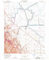
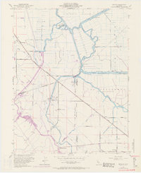
1952 Map of Bethany
USGS Topo · Published 1969About this map
Victoria Island and the surrounding delta landscape define this mid-century survey, where the intricate network of the San Joaquin County and Contra Costa County border meets the complex hydrology of the Old River. The map reveals a highly engineered agricultural and transport environment, dominated by the massive Delta-Mendota Canal and the Tracy Pumping Plant. The transition from the flat Byron Tract to the foothills near Mountain House illustrates the intersection of industrial water management and early settlement. Notable local landmarks like the Clifton Court Ferry and Livermore Yacht Club suggest a time when the waterways were central to both commerce and recreation. Historical rural education is preserved here through the Mountain House Sch and Lammersville Sch, while the Southern Pacific railroad provides a vital link through the stations at Herdlyn and Bethany.
Find a feature on this map
39 named features on this map. Tap any name to fly to it.
Don’t see what you’re looking for? This feature index may not catch every label — zoom into the map to look around manually.
Map Details
Editions of this 1952 Bethany Map
6 editions found
Other maps of this area

1907 · Tesla
USGS Topo · 1:62,500

1911 · Byron Hot Springs
USGS Topo · 1:31,680

1913 · Woodward Island
USGS Topo · 1:31,680

1913 · Holt
USGS Topo · 1:31,680

1914 · Brentwood
USGS Topo · 1:31,680

1914 · Bethany
USGS Topo · 1:31,680

1914 · Union Island
USGS Topo · 1:31,680

1916 · Byron Hot Springs
USGS Topo · 1:31,680

1916 · Byron
USGS Topo · 1:62,500

1916 · Tracy
USGS Topo · 1:31,680