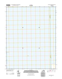
2013 Map of Bethel Beach
USGS Topo · Published 2013About this map
Chesapeake Bay dominates this coastal survey, where the interface of land and sea defines the geography of Northampton County. The map focuses on the slender shoreline and submerged features typical of the Virginia coastline, highlighting Bethel Beach as a primary terrestrial landmark. To the south, the sheltered waters of Winter Harbor contrast with the open expanse of the bay. The inclusion of Wolf Trap suggests a landscape defined by significant shoals and maritime hazards, elements that have historically dictated the navigation and settlement patterns of the Eastern Shore. This 2013 edition preserves the precise shoreline and hydrographic state of the region just prior to more recent coastal changes.
Find a feature on this map
4 named features on this map. Tap any name to fly to it.
Don’t see what you’re looking for? This feature index may not catch every label — zoom into the map to look around manually.
Map Details
Editions of this 2013 Bethel Beach Map
This is the sole edition of this map. No revisions or reprints were ever made.
Other maps of this area

1916 · Kilmarnock
USGS Topo · 1:48,000

1916 · Mathews
USGS Topo · 1:62,500

1917 · Kilmarnock
USGS Topo · 1:62,500

1917 · Mathews
USGS Topo · 1:62,500

1942 · Kilmarnock
USGS Topo · 1:62,500

1943 · Richmond
USGS Topo · 1:250,000

1948 · Cape Charles
USGS Topo · 1:24,000

1948 · Deltaville
USGS Topo · 1:24,000

1948 · New Point Comfort
USGS Topo · 1:24,000

1948 · Mathews
USGS Topo · 1:24,000