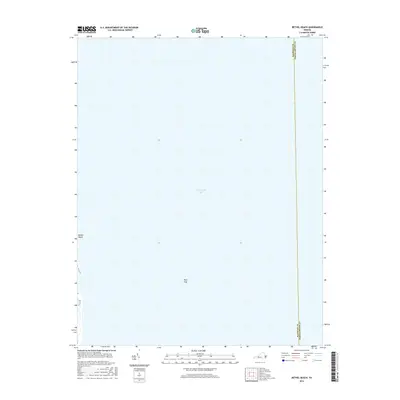
2016 Map of Bethel Beach
USGS Topo · Published 2016About this map
Bethel Beach sits on the western edge of this coastal survey, where the terrestrial landscape meets the expansive Chesapeake Bay. The map is dominated by the open waters of the bay, marking a clear maritime boundary between Mathews and Northampton Counties. This particular area is defined by the Wolf Trap shoals, a historically significant navigational point for vessels moving along the Virginia coastline. The limited land area shown provides a clear record of the shoreline's position in 2016, offering a baseline for studying coastal erosion and the changing geography of the Chesapeake's eastern reaches.
Find a feature on this map
4 named features on this map. Tap any name to fly to it.
Don’t see what you’re looking for? This feature index may not catch every label — zoom into the map to look around manually.
Map Details
Editions of this 2016 Bethel Beach Map
This is the sole edition of this map. No revisions or reprints were ever made.
Other maps of this area

1916 · Kilmarnock
USGS Topo · 1:48,000

1916 · Mathews
USGS Topo · 1:62,500

1917 · Kilmarnock
USGS Topo · 1:62,500

1917 · Mathews
USGS Topo · 1:62,500

1942 · Kilmarnock
USGS Topo · 1:62,500

1943 · Richmond
USGS Topo · 1:250,000

1948 · Cape Charles
USGS Topo · 1:24,000

1948 · Deltaville
USGS Topo · 1:24,000

1948 · New Point Comfort
USGS Topo · 1:24,000

1948 · Mathews
USGS Topo · 1:24,000