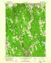
1959 Map of Bethel
USGS Topo · Published 1961About this map
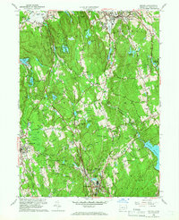
Bethel and the surrounding Fairfield County townships are captured here at a moment of mid-century suburbanization, though the landscape remains heavily defined by its colonial-era legacy and sharp glacial topography. The New York New Haven and Hartford railroad cuts through the center, connecting settlements like West Redding and Branchville to larger regional hubs. The presence of Putnam Memorial State Park and Wooster Mountain State Park anchors significant tracts of undeveloped woodland, contrasting with the expanding residential footprints in Ridgefield. Local institutions such as the Girl Scout Camp and the Redding School highlight the community structure of the late 1950s. The southeastern corner is dominated by the Saugatuck Reservoir, while the rugged interior is dotted with numerous small bodies of water like Eureka Lake and Waubeeka Lake, reflecting a landscape transitioning from rural utility to recreational and residential use.
Find a feature on this map
66 named features on this map. Tap any name to fly to it.
Don’t see what you’re looking for? This feature index may not catch every label — zoom into the map to look around manually.
Map Details
Editions of this 1959 Bethel Map
2 editions found
Other maps of this area

1892 · Stamford
USGS Topo · 1:62,500

1892 · Danbury
USGS Topo · 1:62,500

1892 · Norwalk
USGS Topo · 1:62,500

1892 · Carmel
USGS Topo · 1:62,500

1893 · Carmel
USGS Topo · 1:62,500

1893 · Stamford
USGS Topo · 1:62,500

1893 · Norwalk
USGS Topo · 1:62,500

1894 · Carmel
USGS Topo · 1:62,500

1899 · Stamford
USGS Topo · 1:62,500

1915 · Danbury
USGS Topo · 1:62,500