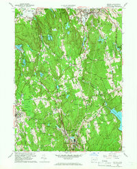
1959 Map of Bethel
USGS Topo · Published 1966About this map
The New York New Haven and Hartford railroad cuts a vital corridor through Fairfield County on this 1959 revision, connecting the industrial and residential hubs of Bethel, Branchville, and Georgetown. The landscape is a complex mix of protected lands and post-war growth, anchored by Wooster Mountain State Park and Putnam Memorial State Park. These forested ridges, including Moses Mtn and Topstone Mtn, are punctuated by numerous small bodies of water like Waubeeka Lake and Fox Hill Lake, many of which supported summer camps and localized recreation.
Find a feature on this map
101 named features on this map. Tap any name to fly to it.
Don’t see what you’re looking for? This feature index may not catch every label — zoom into the map to look around manually.
Map Details
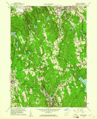
Editions of this 1959 Bethel Map
2 editions found
Other maps of this area

1892 · Stamford
USGS Topo · 1:62,500

1892 · Danbury
USGS Topo · 1:62,500

1892 · Norwalk
USGS Topo · 1:62,500

1892 · Carmel
USGS Topo · 1:62,500

1893 · Carmel
USGS Topo · 1:62,500

1893 · Stamford
USGS Topo · 1:62,500

1893 · Norwalk
USGS Topo · 1:62,500

1894 · Carmel
USGS Topo · 1:62,500

1899 · Stamford
USGS Topo · 1:62,500

1915 · Danbury
USGS Topo · 1:62,500