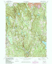
1970 Map of Bethel
USGS Topo · Published 1984About this map
Bethel and the surrounding Fairfield County highlands appear here during a period of suburban expansion and woodland conservation in the early 1970s. The landscape is defined by the sharp ridges of Moses Mtn and Bogus Mtn, interspersed with numerous glacial lakes and reservoirs such as Eureka Lake and the Saugatuck River drainage. Significant portions of the terrain are preserved within Wooster Mountain State Park and Putnam Memorial State Park, reflecting the region's commitment to protecting its natural character even as residential corridors like West Redding and Branchville grew along the Conrail lines.
Find a feature on this map
70 named features on this map. Tap any name to fly to it.
Don’t see what you’re looking for? This feature index may not catch every label — zoom into the map to look around manually.
Map Details
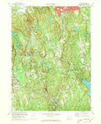
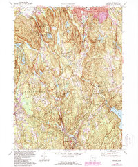
Editions of this 1970 Bethel Map
3 editions found
Other maps of this area

1892 · Stamford
USGS Topo · 1:62,500

1892 · Danbury
USGS Topo · 1:62,500

1892 · Norwalk
USGS Topo · 1:62,500

1892 · Carmel
USGS Topo · 1:62,500

1893 · Carmel
USGS Topo · 1:62,500

1893 · Stamford
USGS Topo · 1:62,500

1893 · Norwalk
USGS Topo · 1:62,500

1894 · Carmel
USGS Topo · 1:62,500

1899 · Stamford
USGS Topo · 1:62,500

1915 · Danbury
USGS Topo · 1:62,500