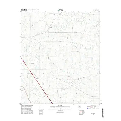
2017 Map of Bethel
USGS Topo · Published 2017About this map
Bethel serves as the focal point of this Turner County landscape, surrounded by a dense network of family-named roads and rural cemeteries. The area is defined by its complex drainage system, where Deep Creek and Mile Br flow through the northern reaches while Sand Cr and Little Sand Cr wind through the central plains. Several small bodies of water, including Wynne Lake and Bussels Pond, punctuate the terrain, reflecting the agricultural and topographical character of southern Georgia.
Find a feature on this map
80 named features on this map. Tap any name to fly to it.
Don’t see what you’re looking for? This feature index may not catch every label — zoom into the map to look around manually.
Map Details
Editions of this 2017 Bethel Map
This is the sole edition of this map. No revisions or reprints were ever made.
Other maps of this area

1953 · Waycross
USGS Topo · 1:250,000

1958 · Waycross
USGS Topo · 1:250,000

1973 · Sumner
USGS Topo · 1:24,000

1973 · Waterloo
USGS Topo · 1:24,000

1973 · Irwinville
USGS Topo · 1:24,000

1973 · Ashburn
USGS Topo · 1:24,000

1973 · Chula
USGS Topo · 1:24,000

1973 · Bethel
USGS Topo · 1:24,000

1974 · Rebecca
USGS Topo · 1:24,000

1974 · Amboy
USGS Topo · 1:24,000