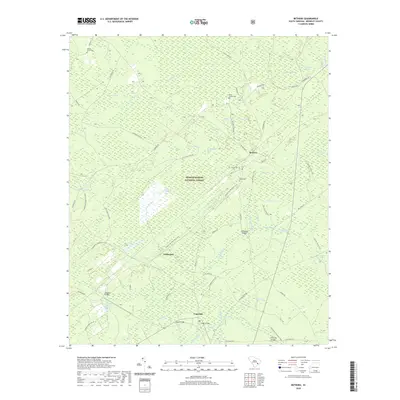
2020 Map of Bethera
USGS Topo · Published 2020About this map
Bethera and Witherbee anchor this detailed study of the Lowcountry landscape, where the managed timberlands of the Francis Marion National Forest meet complex wetland systems. The map reveals a unique coastal plain topography characterized by numerous "bays" — elliptical depressions such as Little Hellhole Bay, Graveyard Bay, and Big Ocean Bay — that define the local drainage patterns. These features, along with Jericho Swamp and Boggy Swamp, illustrate the intricate hydrology that shaped early settlement and transit in Berkeley County.
Find a feature on this map
75 named features on this map. Tap any name to fly to it.
Don’t see what you’re looking for? This feature index may not catch every label — zoom into the map to look around manually.
Map Details
Editions of this 2020 Bethera Map
This is the sole edition of this map. No revisions or reprints were ever made.
Other maps of this area

1919 · Cordesville
USGS Topo · 1:48,000

1943 · Shulerville
USGS Topo · 1:24,000

1943 · Jamestown
USGS Topo · 1:24,000

1943 · Ocean Bay
USGS Topo · 1:24,000

1943 · Bonneau
USGS Topo · 1:62,500

1948 · Cordesville
USGS Topo · 1:24,000

1948 · Bethera
USGS Topo · 1:24,000
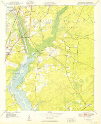
1949 · Cordesville
USGS Topo · 1:24,000

1949 · Georgetown
USGS Topo · 1:250,000
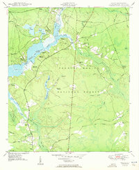
1950 · Huger
USGS Topo · 1:24,000