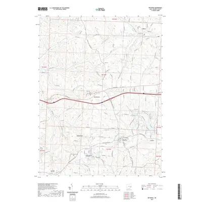
2019 Map of Bethesda
USGS Topo · Published 2019About this map
Morristown and Bethesda anchor this portion of Belmont County, where the topography is defined by the high ground of Barkcamp Hill and the drainage of McMahon Cr. The landscape is a network of rural communities, including Lafferty, Belmont, and the small settlement at Speidel. For those tracing local families, the map provides precise locations for numerous burying grounds such as Union Cem, Bethesda Cem, and the Morristown First Cem, alongside the Ebenezer Cem near the town center. The area's water resources are marked by the Bethesda Reservoir and several winding streams like Stillwater Cr, Barkcamp Cr, and Sixmile Run. This survey illustrates a modern rural Ohio environment where historic town grids and church sites like Saint Marys Ch sit within a complex web of township and county roads.
Find a feature on this map
135 named features on this map. Tap any name to fly to it.
Don’t see what you’re looking for? This feature index may not catch every label — zoom into the map to look around manually.
Map Details
Editions of this 2019 Bethesda Map
This is the sole edition of this map. No revisions or reprints were ever made.
Other maps of this area

1903 · Flushing
USGS Topo · 1:62,500

1905 · Clarington
USGS Topo · 1:62,500

1905 · St. Clairsville
USGS Topo · 1:62,500

1905 · Woodsfield
USGS Topo · 1:62,500

1905 · Flushing
USGS Topo · 1:62,500

1935 · Clarington
USGS Topo · 1:62,500

1940 · Clarington
USGS Topo · 1:62,500

1949 · Clarksburg
USGS Topo · 1:250,000

1951 · Canton
USGS Topo · 1:250,000

1953 · Canton
USGS Topo · 1:250,000