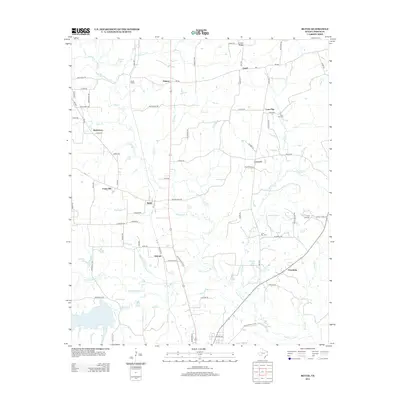
2013 Map of Bettie
USGS Topo · Published 2013About this map
Bettie and its surrounding rural communities are situated among the intricate drainage basins of Little Cypress Cr and Lilly Cr. The landscape is characterized by a high density of named settlements including Union Hill, Concord, and Ewell, suggesting a historically well-distributed population connected by rural routes like FM-593 and Old Highway 271 N. To the southwest, the expansive Lake Gilmer and its feeder streams like Kelsey Cr dominate the local geography.
Find a feature on this map
60 named features on this map. Tap any name to fly to it.
Don’t see what you’re looking for? This feature index may not catch every label — zoom into the map to look around manually.
Map Details
Editions of this 2013 Bettie Map
This is the sole edition of this map. No revisions or reprints were ever made.
Other maps of this area

1956 · Tyler
USGS Topo · 1:250,000

1960 · Pritchett
USGS Topo · 1:24,000

1960 · Bettie
USGS Topo · 1:24,000

1960 · Gilmer
USGS Topo · 1:24,000

1960 · Thomas
USGS Topo · 1:24,000

1960 · Leesburg
USGS Topo · 1:24,000

1960 · Coffeeville
USGS Topo · 1:24,000

1960 · Glenwood
USGS Topo · 1:24,000

1960 · La Fayette
USGS Topo · 1:24,000

1960 · Pittsburg
USGS Topo · 1:24,000