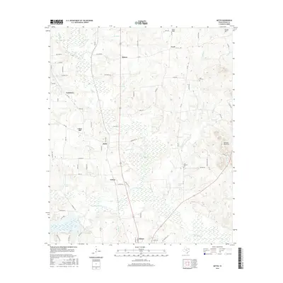
2016 Map of Bettie
USGS Topo · Published 2016About this map
Little Cypress Creek and its many tributaries, such as Blasingame Branch and Kelsey Creek, define the water-rich landscape of northern Upshur County. This modern survey illustrates the settlement patterns of several small communities including Bettie, Union Hill, Bethlehem, and Ewell. The presence of Zion Hill Cemetery and Lone Mountain Cemetery offers specific points of interest for those tracing family lineages in this part of East Texas. To the northeast, the terrain rises toward Howell Mountain and Union Ridge, while the southeast is characterized by the Barnwell Mountains. The map provides a detailed view of the rural road network, from historic routes like Cherokee Trace to localized paths like Jackrabbit Road and Panda Road.
Find a feature on this map
81 named features on this map. Tap any name to fly to it.
Don’t see what you’re looking for? This feature index may not catch every label — zoom into the map to look around manually.
Map Details
Editions of this 2016 Bettie Map
This is the sole edition of this map. No revisions or reprints were ever made.
Other maps of this area

1956 · Tyler
USGS Topo · 1:250,000

1960 · Pritchett
USGS Topo · 1:24,000

1960 · Bettie
USGS Topo · 1:24,000

1960 · Gilmer
USGS Topo · 1:24,000

1960 · Thomas
USGS Topo · 1:24,000

1960 · Leesburg
USGS Topo · 1:24,000

1960 · Coffeeville
USGS Topo · 1:24,000

1960 · Glenwood
USGS Topo · 1:24,000

1960 · La Fayette
USGS Topo · 1:24,000

1960 · Pittsburg
USGS Topo · 1:24,000