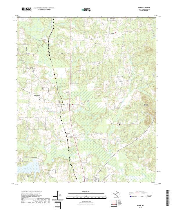
2022 Map of Bettie
USGS Topo · Published 2022About this map
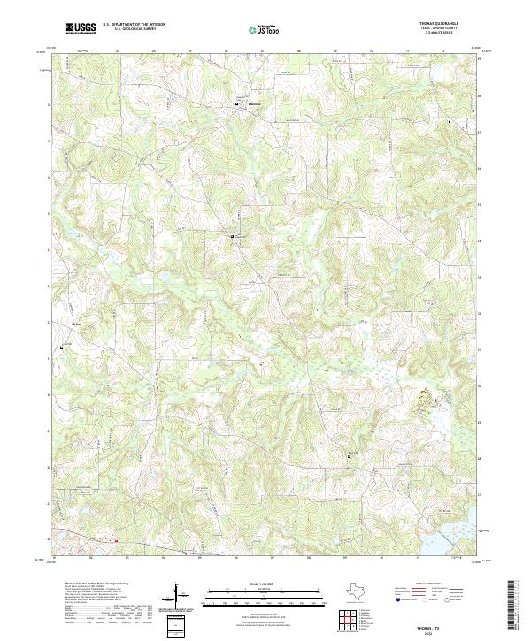
Gilmer and the surrounding rural communities of Upshur County anchor this modern study of the Texas Piney Woods. The landscape is defined by the winding course of Little Cypress Cr and its numerous tributaries, including Kelsey Creek, Caney Cr, and Blasingame Br. Small settlements like Bettie, Midway, and Ewell are interspersed among rolling terrain, which rises to local heights at Howell Mtn and the Barnwell Mountains.
Find a feature on this map
93 named features on this map. Tap any name to fly to it.
Don’t see what you’re looking for? This feature index may not catch every label — zoom into the map to look around manually.
Map Details
Editions of this 2022 Bettie Map
This is the sole edition of this map. No revisions or reprints were ever made.
Historical Maps of Midway Through Time
10 maps found
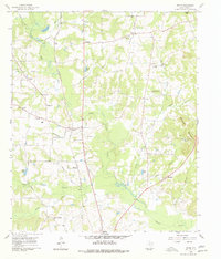
1960 Bettie
Upshur County, TX
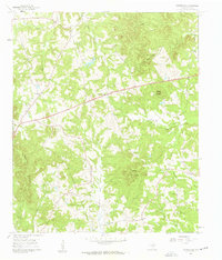
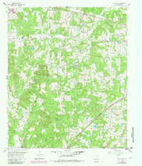
1960 Coffeeville
Upshur County, TX
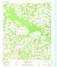
1960 Glenwood
Upshur County, TX
1960 Pritchett
Upshur County, TX

1960 Thomas
Upshur County, TX
2022 Bettie
Upshur County, TX
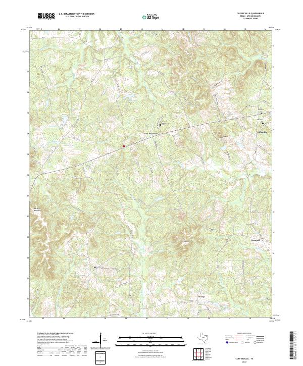
2022 Coffeeville
Upshur County, TX
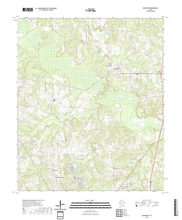
2022 Glenwood
Upshur County, TX
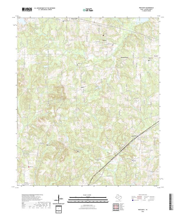
2022 Pritchett
Upshur County, TX
2022 Thomas
Upshur County, TX