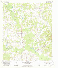
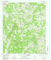
1960 Map of Bettie
USGS Topo · Published 1978About this map
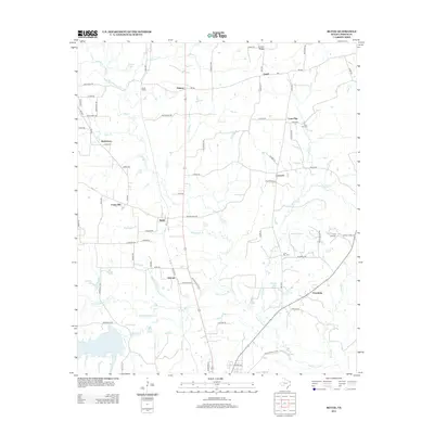
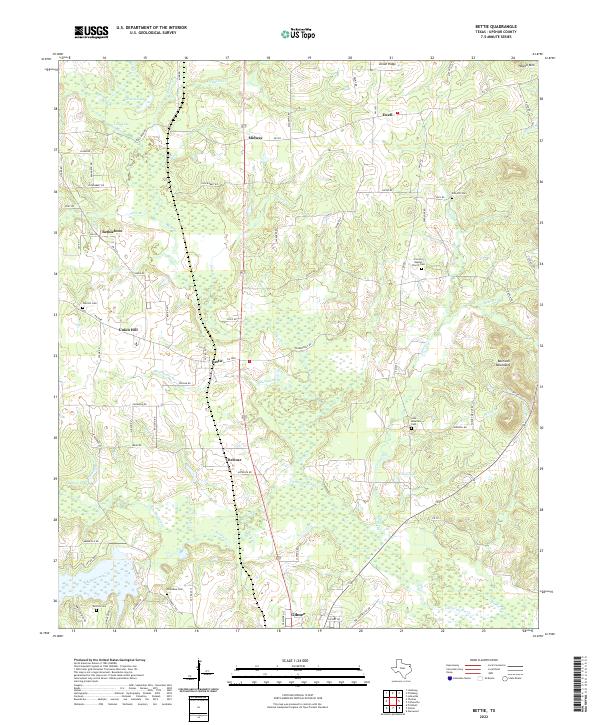
Bettie serves as a central point in this Upshur County landscape, where the St Louis Southwestern railroad cuts through the terrain, passing landmarks like Smith Siding. The map reveals a deeply established rural community defined by its numerous spiritual and civic centers, including Zion Hill Ch, Bethlehem Ch, and the Union Ridge Community Center. To the south, the waters of Little Cypress Creek and its many tributaries, such as Kelsey Creek and Brooks Creek, create a complex drainage pattern that has historically shaped local settlement and land use.
Find a feature on this map
52 named features on this map. Tap any name to fly to it.
Don’t see what you’re looking for? This feature index may not catch every label — zoom into the map to look around manually.
Map Details
Editions of this 1960 Bettie Map
2 editions found
Historical Maps of Gilmer Through Time
30 maps found
1960 Bettie
Upshur County, TX
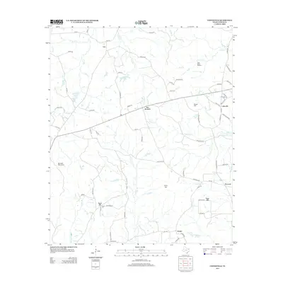
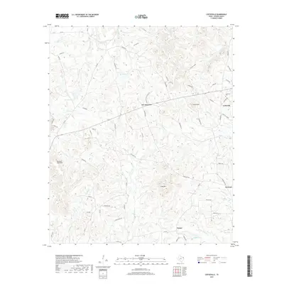
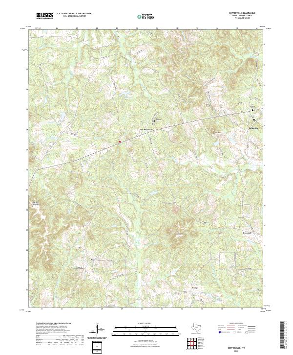
1960 Coffeeville
Upshur County, TX
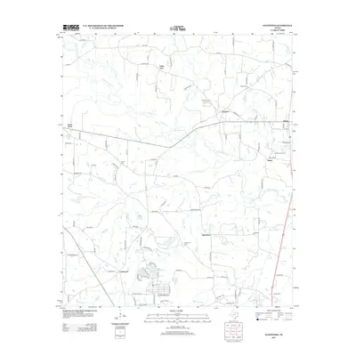
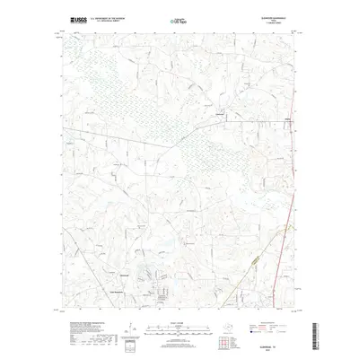
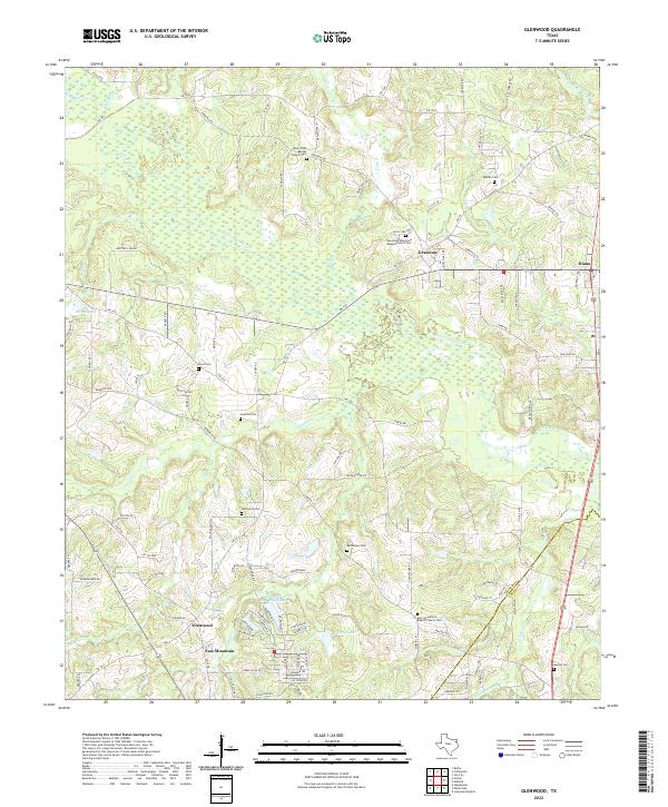
1960 Glenwood
Upshur County, TX
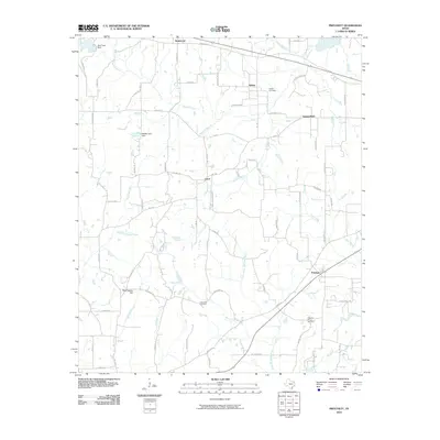
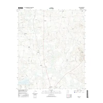
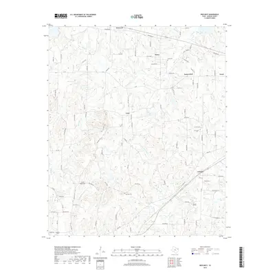
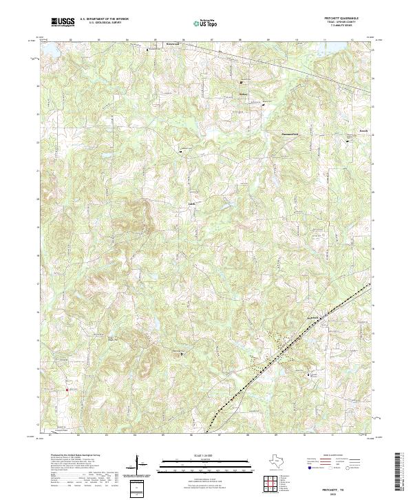
1960 Pritchett
Upshur County, TX

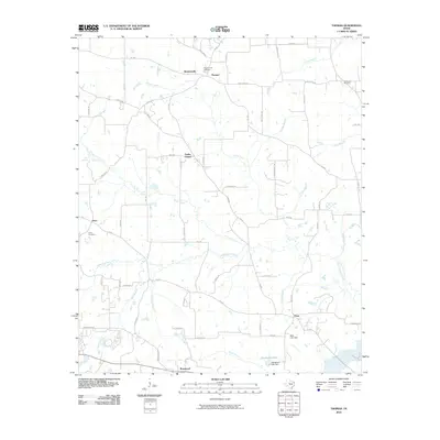
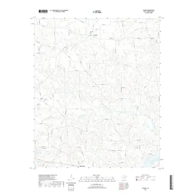
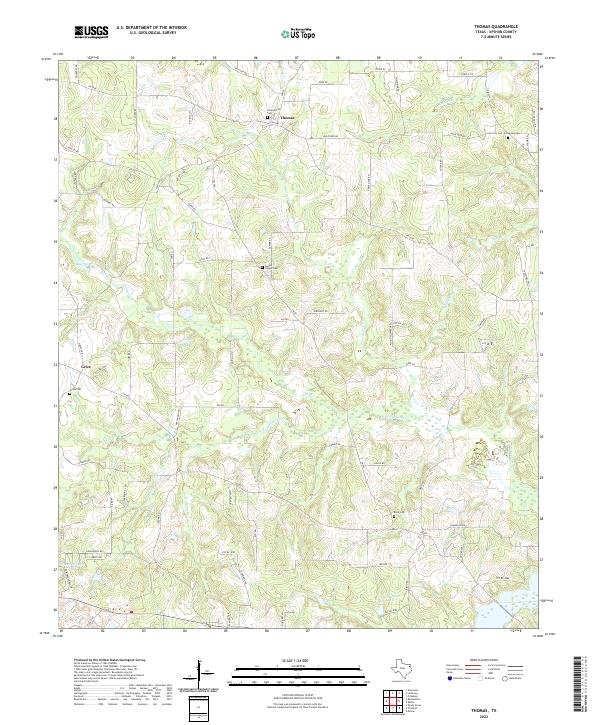
1960 Thomas
Upshur County, TX
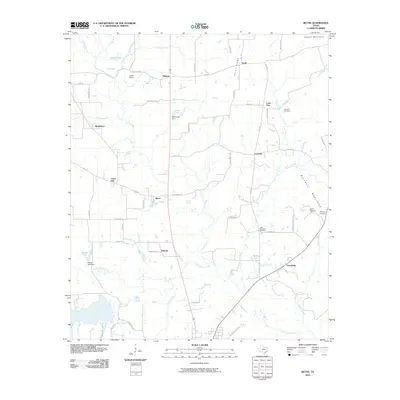
2010 Bettie
Upshur County, TX
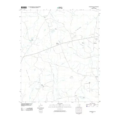
2010 Coffeeville
Upshur County, TX
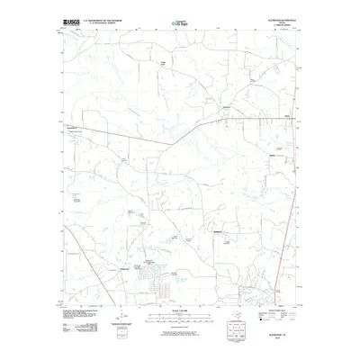
2010 Glenwood
Upshur County, TX
2010 Pritchett
Upshur County, TX
2010 Thomas
Upshur County, TX
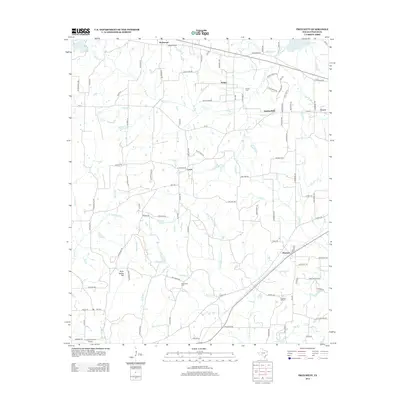
2012 Pritchett
Upshur County, TX
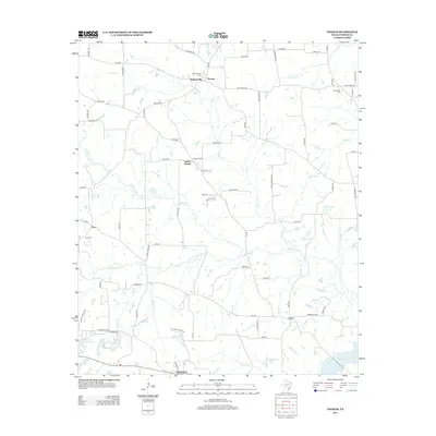
2012 Thomas
Upshur County, TX
2013 Bettie
Upshur County, TX
2013 Coffeeville
Upshur County, TX
2013 Glenwood
Upshur County, TX
2016 Bettie
Upshur County, TX
2016 Coffeeville
Upshur County, TX
2016 Glenwood
Upshur County, TX

2016 Pritchett
Upshur County, TX
2016 Thomas
Upshur County, TX
2019 Bettie
Upshur County, TX
2019 Coffeeville
Upshur County, TX
2019 Glenwood
Upshur County, TX
2019 Pritchett
Upshur County, TX
2019 Thomas
Upshur County, TX
2022 Bettie
Upshur County, TX
2022 Coffeeville
Upshur County, TX
2022 Glenwood
Upshur County, TX
2022 Pritchett
Upshur County, TX
2022 Thomas
Upshur County, TX