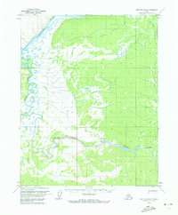
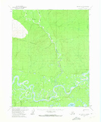
1970 Map of Bettles B-6
USGS Topo · Published 1973About this map
The Koyukuk River and its southern tributary, the Kanuti River, dominate this subarctic landscape mapped in 1970. The geography is defined by the winding passage through Kanuti Canyon, where the river cuts through the uplands before entering broader valley floors. This area remains largely undeveloped, characterized by a network of seasonal transport routes rather than permanent settlements. Key overland routes include the Allakaket Tanana Winter Trail and the Mentanontli River Trail, illustrating how the region was navigated during the colder months when the terrain was frozen and traversable. The inclusion of a Pingo near the southern boundary provides a specific cryospheric detail, identifying a perennial frost mound characteristic of this permafrost-rich environment.
Find a feature on this map
8 named features on this map. Tap any name to fly to it.
Don’t see what you’re looking for? This feature index may not catch every label — zoom into the map to look around manually.
Map Details
Editions of this 1970 Bettles B-6 Map
2 editions found
Other maps of this area

1951 · Hughes
USGS Topo · 1:250,000

1951 · Bettles
USGS Topo · 1:250,000

1955 · Hughes A-1
USGS Topo · 1:63,360

1956 · Hughes
USGS Topo · 1:250,000

1956 · Bettles
USGS Topo · 1:250,000

1964 · Hughes
USGS Topo · 1:250,000

1965 · Hughes
USGS Topo · 1:250,000
1970 · Bettles A-6
USGS Topo · 1:63,360
1970 · Bettles B-5
USGS Topo · 1:63,360
1970 · Bettles C-5
USGS Topo · 1:63,360