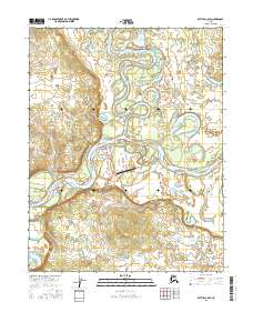
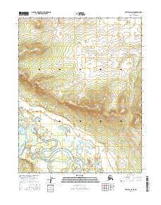
2016 Map of Bettles C-6 SE
USGS Topo · Published 2016About this map
Allakaket and New Allakaket sit at the confluence of the Alatna River and the Koyukuk River, serving as a vital hub for transportation and subsistence in the Yukon-Koyukuk region. This interior Alaskan landscape is defined by its complex hydrology, where the rivers meander through a series of sloughs and lakes such as Buzodoc Slough and Holdeyeit Lake. The map details the local infrastructure supporting these settlements, from the Allakaket Airport to local thoroughfares like Alatna River Drive and Water Well Road.
Find a feature on this map
31 named features on this map. Tap any name to fly to it.
Don’t see what you’re looking for? This feature index may not catch every label — zoom into the map to look around manually.
Map Details
Editions of this 2016 Bettles C-6 SE Map
This is the sole edition of this map. No revisions or reprints were ever made.
Other maps of this area

1951 · Bettles
USGS Topo · 1:250,000

1956 · Bettles
USGS Topo · 1:250,000
1970 · Bettles B-5
USGS Topo · 1:63,360
1970 · Bettles B-6
USGS Topo · 1:63,360
1970 · Bettles C-5
USGS Topo · 1:63,360
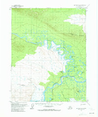
1970 · Bettles C-6
USGS Topo · 1:63,360
2016 · Bettles B-6 NW
USGS Topo · 1:25,000
2016 · Bettles B-5 NW
USGS Topo · 1:25,000
2016 · Bettles B-6 NE
USGS Topo · 1:25,000
2016 · Bettles C-6 NE
USGS Topo · 1:25,000