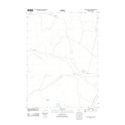
2012 Map of Beulah Belle Lake
USGS Topo · Published 2012About this map
Oilcan Ranch and Beulah Belle Lake center this 2012 survey of the high Wyoming plains in Natrona County. The landscape is defined by the ephemeral drainage of Dry Cr, which winds through the central portion of the quadrangle, eventually passing near the Oilcan Ranch. To the south, the dramatic geologic formations of the Sweetwater Rocks emerge, while Roberts Draw cuts through the northern terrain. This area reflects a traditional ranching economy, with family-named holdings like Spear Ranch and Bug Ranch connected by primitive routes such as Dry Creek Rd and Rossa Ranch Rd. Remote water sources including Black Rock Springs provide critical points of interest in an otherwise arid expanse of rangeland.
Find a feature on this map
10 named features on this map. Tap any name to fly to it.
Don’t see what you’re looking for? This feature index may not catch every label — zoom into the map to look around manually.
Map Details
Editions of this 2012 Beulah Belle Lake Map
This is the sole edition of this map. No revisions or reprints were ever made.
Other maps of this area

1951 · Savage Peak
USGS Topo · 1:24,000

1951 · Independence Rock
USGS Topo · 1:24,000

1951 · Fort Ridge
USGS Topo · 1:24,000

1955 · Casper
USGS Topo · 1:250,000

1958 · Casper
USGS Topo · 1:250,000

1959 · Horse Creek Springs
USGS Topo · 1:24,000

1959 · Sanford Ranch
USGS Topo · 1:24,000

1959 · Saddle Rock
USGS Topo · 1:24,000

1959 · Miller Spring
USGS Topo · 1:24,000

1959 · Barlow Gap
USGS Topo · 1:24,000