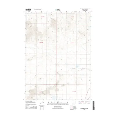
2015 Map of Beulah Belle Lake
USGS Topo · Published 2015About this map
Beulah Belle Lake serves as a focal point for this high-plains landscape in Natrona County, where seasonal water sources and ranching infrastructure define the local geography. The area is characterized by significant topographic relief in the south, marked by the granite outcrops of the Sweetwater Rocks. These geologic formations rise sharply above the drainage basins of Dry Cr and Roberts Draw, which carve ephemeral paths across the central and northern sections of the quadrangle. Transportation is limited to a sparse network of rural routes, including Rossa Ranch Rd and Buelah Belle Rd, which connect remote homesteads and grazing lands. In a region where reliable water is scarce, features like Black Rock Springs provide critical anchor points for land use and local history within this portion of the Wyoming interior.
Find a feature on this map
13 named features on this map. Tap any name to fly to it.
Don’t see what you’re looking for? This feature index may not catch every label — zoom into the map to look around manually.
Map Details
Editions of this 2015 Beulah Belle Lake Map
This is the sole edition of this map. No revisions or reprints were ever made.
Other maps of this area

1951 · Savage Peak
USGS Topo · 1:24,000

1951 · Independence Rock
USGS Topo · 1:24,000

1951 · Fort Ridge
USGS Topo · 1:24,000

1955 · Casper
USGS Topo · 1:250,000

1958 · Casper
USGS Topo · 1:250,000

1959 · Horse Creek Springs
USGS Topo · 1:24,000

1959 · Sanford Ranch
USGS Topo · 1:24,000

1959 · Saddle Rock
USGS Topo · 1:24,000

1959 · Miller Spring
USGS Topo · 1:24,000

1959 · Barlow Gap
USGS Topo · 1:24,000