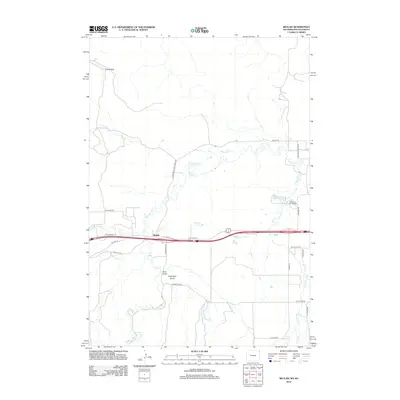
2012 Map of Beulah
USGS Topo · Published 2012About this map
Beulah sits at a geographic crossroads in Crook County, where the high plains meet the intricate drainage systems of the Black Hills foothills. The settlement is anchored by a complex network of historical thoroughfares, including Old Highway 14 and Old US Hwy 14, which trace the path of earlier transit routes through the region. Water management is a central theme of this landscape, evidenced by the Miller Ditch irrigation system and the presence of the McNenny Fish Hatchery near the banks of Crow Cr.
Find a feature on this map
31 named features on this map. Tap any name to fly to it.
Don’t see what you’re looking for? This feature index may not catch every label — zoom into the map to look around manually.
Map Details
Editions of this 2012 Beulah Map
This is the sole edition of this map. No revisions or reprints were ever made.
Other maps of this area

1894 · Deadwood
USGS Topo · 1:125,000

1898 · Sundance
USGS Topo · 1:125,000

1900 · Spearfish
USGS Topo · 1:62,500

1901 · Deadwood
USGS Topo · 1:125,000

1901 · Aladdin
USGS Topo · 1:125,000

1902 · Sundance
USGS Topo · 1:125,000

1903 · Aladdin
USGS Topo · 1:125,000

1907 · Belle Fourche
USGS Topo · 1:125,000

1907 · Redwater
USGS Topo · 1:62,500

1915 · Spearfish
USGS Topo · 1:62,500