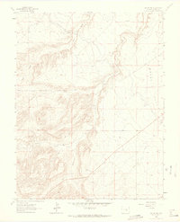
1963 Map of Beulah NE
USGS Topo · Published 1965About this map
Minnequa Canal and the Arkansas Valley Conduit highlight the vital water infrastructure necessary for agriculture and settlement in this portion of Pueblo County during the mid-1960s. The landscape is defined by the broad plateau of Boggs Flat and a network of drainage systems, including Peck Creek, Rock Creek, and Boggs Creek, which carve through the terrain. The presence of Red Creek Road suggests an established transport corridor through the more varied topography of the west. This 1963 survey, field-checked from 1956 aerial photography, documents a transition between the open flats and the more complex hydrology of Soda Creek and Gatbeth Creek, capturing the spatial arrangement of rural land use and hydraulic engineering before significant modern development altered these patterns.
Find a feature on this map
11 named features on this map. Tap any name to fly to it.
Don’t see what you’re looking for? This feature index may not catch every label — zoom into the map to look around manually.
Map Details
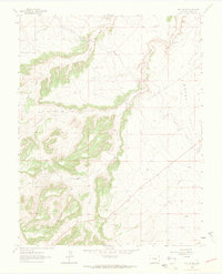
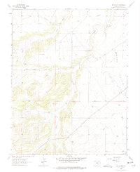
Editions of this 1963 Beulah NE Map
Other maps of this area

1891 · Pueblo
USGS Topo · 1:125,000

1894 · Pueblo
USGS Topo · 1:125,000

1896 · Pueblo
USGS Topo · 1:125,000

1897 · Pueblo
USGS Topo · 1:125,000

1954 · Pueblo
USGS Topo · 1:250,000

1957 · Pueblo
USGS Topo · 1:250,000

1958 · Pueblo
USGS Topo · 1:250,000

1961 · Northwest Pueblo
USGS Topo · 1:24,000

1961 · Southwest Pueblo
USGS Topo · 1:24,000

1962 · Pueblo
USGS Topo · 1:250,000