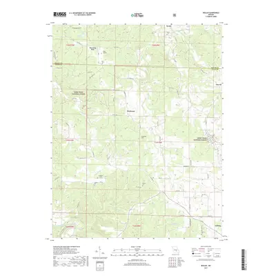
2017 Map of Beulah
USGS Topo · Published 2017About this map
Blooming Rose and Kinderpost anchor this portion of the Missouri Ozarks, a region defined by its rugged drainages and deep hollows. The landscape is heavily wooded, much of it contained within the Mark Twain National Forest, yet it remains a lived-in patchwork of rural homesteads and family legacy sites. Small settlements like Beulah and Sherrill are scattered along a network of winding county roads, often centered around local landmarks such as Beulah Cem or the smaller Shafer Cem.
Find a feature on this map
66 named features on this map. Tap any name to fly to it.
Don’t see what you’re looking for? This feature index may not catch every label — zoom into the map to look around manually.
Map Details
Editions of this 2017 Beulah Map
This is the sole edition of this map. No revisions or reprints were ever made.
Other maps of this area

1937 · Edgar Springs
USGS Topo · 1:48,000

1941 · Big Piney
USGS Topo · 1:62,500

1941 · Bado
USGS Topo · 1:62,500

1943 · Big Piney
USGS Topo · 1:62,500

1943 · Bado
USGS Topo · 1:62,500

1945 · Edgar Springs
USGS Topo · 1:62,500

1949 · Rolla
USGS Topo · 1:250,000

1951 · Licking
USGS Topo · 1:24,000

1951 · Prescott
USGS Topo · 1:24,000

1951 · Raymondville
USGS Topo · 1:62,500