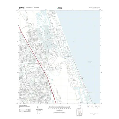
2012 Map of Beverly Beach
USGS Topo · Published 2012About this map
Palm Coast dominates this coastal landscape, showing a complex network of residential development during the early 21st century. The map illustrates a meticulously planned suburban grid characterized by themed street names like Matanzas Woods Pkwy and Fernwood Ln, woven between the Matanzas River and the Atlantic coastline. This era of growth is defined by its relationship with the water, where the natural course of Long Cr and Big Mulberry Br meets engineered waterways like the Saint Joe Canal and Fox Cut.
Find a feature on this map
390 named features on this map. Tap any name to fly to it.
Don’t see what you’re looking for? This feature index may not catch every label — zoom into the map to look around manually.
Map Details
Editions of this 2012 Beverly Beach Map
This is the sole edition of this map. No revisions or reprints were ever made.
Other maps of this area

1927 · Matanzas
USGS Topo · 1:48,000

1937 · Dinner Island
USGS Topo · 1:48,000

1937 · Ormond
USGS Topo · 1:48,000

1943 · Dinner Island
USGS Topo · 1:62,500

1943 · Matanzas
USGS Topo · 1:62,500

1944 · Ormond
USGS Topo · 1:62,500

1944 · Dinner Island
USGS Topo · 1:62,500

1944 · Matanzas
USGS Topo · 1:62,500

1954 · Daytona Beach
USGS Topo · 1:250,000

1956 · Dinner Island NE
USGS Topo · 1:24,000