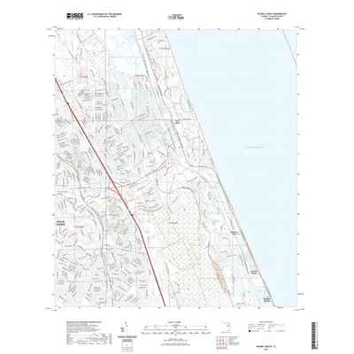
2024 Map of Beverly Beach
USGS Topo · Published 2024About this map
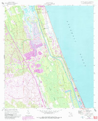
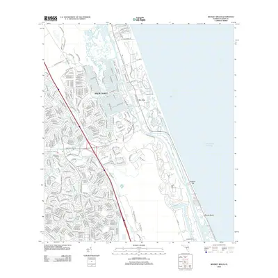
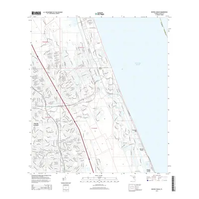
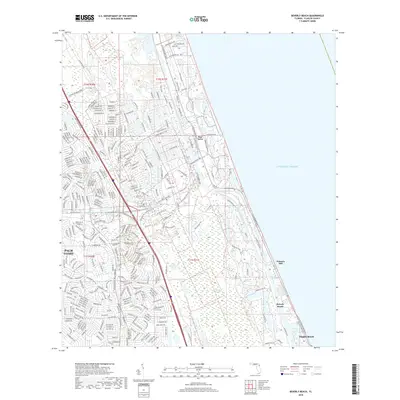
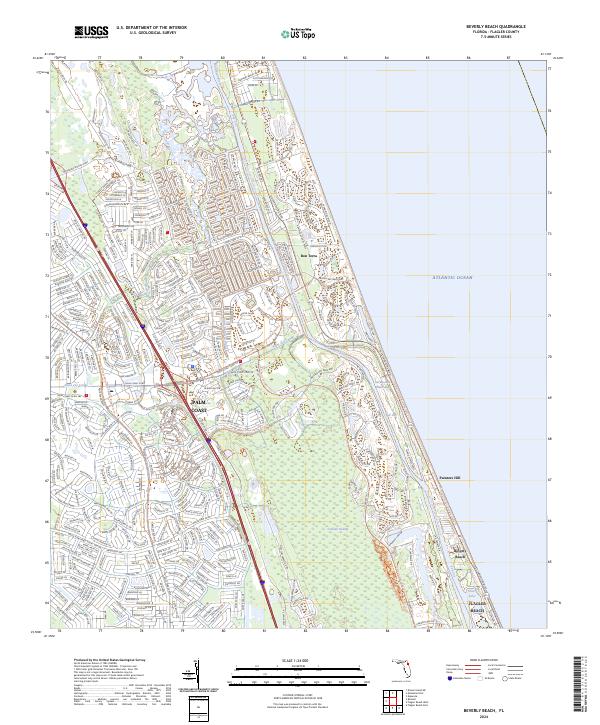
Palm Coast and its intricate network of residential streets dominate the inland landscape in this recent survey of the Florida coast. The expansion of suburban developments like Bon Terra is set against the natural expanse of Graham Swamp, which serves as a significant drainage basin for the region. Parallel to the Atlantic Ocean, the Intracoastal Waterway and the Matanzas River facilitate maritime transit, while the Saint Joe Canal cuts through the developed area to manage water levels. Along the barrier island, older coastal communities such as Beverly Beach and Painters Hill maintain their shoreline positions. This map provides a detailed look at the modern suburban infrastructure of Flagler Beach and its surroundings, including numerous local landmarks like the Water Tower and inland water bodies such as Silver Lake.
Find a feature on this map
342 named features on this map. Tap any name to fly to it.
Don’t see what you’re looking for? This feature index may not catch every label — zoom into the map to look around manually.
Map Details
Editions of this 2024 Beverly Beach Map
This is the sole edition of this map. No revisions or reprints were ever made.
Historical Maps of Palm Coast Through Time
6 maps found