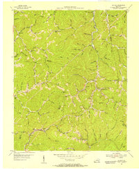
1954 Map of Beverly
USGS Topo · Published 1956About this map
Red Bird River winds through this mid-century landscape at the complex convergence of Bell, Clay, Knox, and Leslie Counties. The settlement pattern is defined by narrow valley floors and numerous gaps through the Knox Co Bell Co Ridge, including Bob Slusher Gap and Kentucky Gap. The area is notably dense with community institutions, featuring the Red Bird Mission Hospital and the Little Cow Red Bird Settlement Sch near Beverly.
Find a feature on this map
118 named features on this map. Tap any name to fly to it.
Don’t see what you’re looking for? This feature index may not catch every label — zoom into the map to look around manually.
Map Details
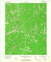
Editions of this 1954 Beverly Map
2 editions found
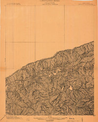
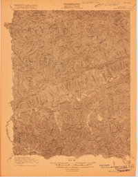
Other maps of this area

1886 · Cumberland Gap
USGS Topo · 1:125,000

1887 · Jonesville
USGS Topo · 1:125,000

1888 · Cumberland Gap
USGS Topo · 1:125,000

1891 · Manchester
USGS Topo · 1:125,000

1891 · Cumberland Gap
USGS Topo · 1:125,000

1891 · Hazard
USGS Topo · 1:125,000

1891 · Jonesville
USGS Topo · 1:125,000
1903 · Harlan
USGS Topo · 1:48,000

1903 · Pineville
USGS Topo · 1:48,000
1916 · Harlan
USGS Topo · 1:48,000