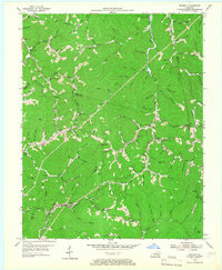
1954 Map of Beverly
USGS Topo · Published 1967About this map
The Red Bird Mission Hospital and Little Cow Red Bird Settlement School serve as central community landmarks in this mid-century survey of the rugged Appalachian borderlands. Straddling the meeting point of Bell, Knox, Leslie, and Clay Counties, the landscape is defined by its dense network of hollows and ridges. Small rural settlements like Beverly and Field (Crockett) are connected by winding roads like KY 66 and KY 221, while the high ground is monitored from a Lookout Tower positioned atop the Knox County-Bell County Ridge.
Find a feature on this map
123 named features on this map. Tap any name to fly to it.
Don’t see what you’re looking for? This feature index may not catch every label — zoom into the map to look around manually.
Map Details
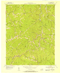
Editions of this 1954 Beverly Map
2 editions found
Other maps of this area

1886 · Cumberland Gap
USGS Topo · 1:125,000

1887 · Jonesville
USGS Topo · 1:125,000

1888 · Cumberland Gap
USGS Topo · 1:125,000

1891 · Manchester
USGS Topo · 1:125,000

1891 · Cumberland Gap
USGS Topo · 1:125,000

1891 · Hazard
USGS Topo · 1:125,000

1891 · Jonesville
USGS Topo · 1:125,000

1903 · Harlan
USGS Topo · 1:48,000

1903 · Pineville
USGS Topo · 1:48,000

1916 · Harlan
USGS Topo · 1:48,000