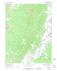
1968 Map of Beverly West
USGS Topo · Published 1989About this map
The Tygart Valley River carves a fertile corridor through Randolph County, where the historic settlement of Beverly sits at a sharp bend in the water. This survey captures the valley's mid-century transition, showing the agricultural flatlands alongside emerging industrial footprints like the Western Maryland railroad and multiple strip mines along the ridges of Rich Mountain. Local community life is well-documented through landmark structures such as the Homestead Sch, Harper Ch, and even a Drive-in Theater near Dailey. To the west, the terrain rises sharply into the Monongahela National Forest, a landscape marked by high-altitude features like the Lookout Tower and an Airway Beacon. The map traces numerous watercourses, including Roaring Cr and Cassity Fork, which historically supported the valley's timber and coal economies.
Find a feature on this map
56 named features on this map. Tap any name to fly to it.
Don’t see what you’re looking for? This feature index may not catch every label — zoom into the map to look around manually.
Map Details
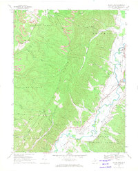
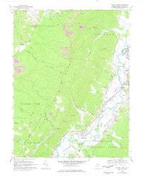
Editions of this 1968 Beverly West Map
3 editions found
Other maps of this area

1889 · Beverly
USGS Topo · 1:125,000

1892 · Beverly
USGS Topo · 1:125,000

1893 · Buckhannon
USGS Topo · 1:125,000

1896 · Buckhannon
USGS Topo · 1:125,000

1897 · Buckhannon
USGS Topo · 1:125,000

1909 · Elkins
USGS Topo · 1:62,500

1912 · Sago
USGS Topo · 1:48,000

1913 · Pickens
USGS Topo · 1:48,000

1914 · Sago
USGS Topo · 1:62,500

1915 · Pickens
USGS Topo · 1:62,500