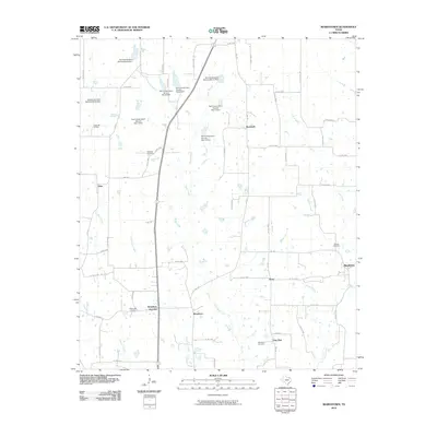
2010 Map of Biardstown
USGS Topo · Published 2010About this map
Biardstown and its surrounding hamlets in Lamar County are defined by a network of rural roads and watercourses that drain toward the Pecan Branch and Hickory Creek. In this 2010 survey, the landscape is dotted with small, historically significant settlements like Glory, Frog Hop, and Broadway Junction. These names often reflect early local commerce or transport points that survived into the 21st century. The map reveals an extensive system of water management, evidenced by numerous structures such as Soil Conservation Service Site 12 Dam and its counterparts along Baker Branch and Auds Creek. These sites, alongside the Camp Hill Oil Field, indicate a landscape shaped by both natural resource extraction and modern land conservation efforts. Genealogists will find value in the precise locations of several rural burial grounds, including Brackeen Cemetery and New Dora Cemetery, which anchor the histories of these small Texas communities.
Find a feature on this map
68 named features on this map. Tap any name to fly to it.
Don’t see what you’re looking for? This feature index may not catch every label — zoom into the map to look around manually.
Map Details
Editions of this 2010 Biardstown Map
This is the sole edition of this map. No revisions or reprints were ever made.
Other maps of this area

1903 · Paris
USGS Topo · 1:125,000

1948 · Paris
USGS Topo · 1:62,500

1949 · Paris
USGS Topo · 1:62,500

1953 · Texarkana
USGS Topo · 1:250,000

1956 · Texarkana
USGS Topo · 1:250,000

1963 · Minter
USGS Topo · 1:24,000

1964 · Pattonville
USGS Topo · 1:24,000

1964 · Blossom
USGS Topo · 1:24,000

1964 · Charleston
USGS Topo · 1:24,000

1964 · Cooper North
USGS Topo · 1:24,000