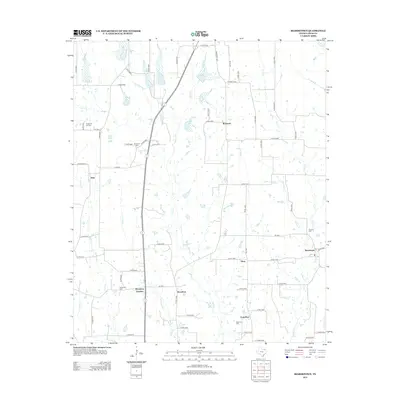
2013 Map of Biardstown
USGS Topo · Published 2013About this map
Biardstown and its neighboring rural crossroads define this corner of Lamar County, where agricultural fields are intersected by a dense network of county roads and creek drainages. The landscape is marked by small, scattered settlements like Glory, Frog Hop, and Broadway Junction, each representing the enduring community nodes of East Texas. To the northwest, the Camp Hill Oil Field indicates the region's intersection with the energy industry, while the presence of numerous burial grounds, including Antioch Cem and Brackeen Cem, offers significant touchpoints for genealogists tracing family roots in the area. The terrain is structured by a series of north-flowing waterways such as Auds Cr and Hickory Cr, which have historically dictated the placement of farms and the winding paths of local routes like Farm Road 1497.
Find a feature on this map
75 named features on this map. Tap any name to fly to it.
Don’t see what you’re looking for? This feature index may not catch every label — zoom into the map to look around manually.
Map Details
Editions of this 2013 Biardstown Map
This is the sole edition of this map. No revisions or reprints were ever made.
Other maps of this area

1903 · Paris
USGS Topo · 1:125,000

1948 · Paris
USGS Topo · 1:62,500

1949 · Paris
USGS Topo · 1:62,500

1953 · Texarkana
USGS Topo · 1:250,000

1956 · Texarkana
USGS Topo · 1:250,000

1963 · Minter
USGS Topo · 1:24,000

1964 · Pattonville
USGS Topo · 1:24,000

1964 · Blossom
USGS Topo · 1:24,000

1964 · Charleston
USGS Topo · 1:24,000

1964 · Cooper North
USGS Topo · 1:24,000