
1893 Map of Biddeford
USGS Topo · Published 1893About this map
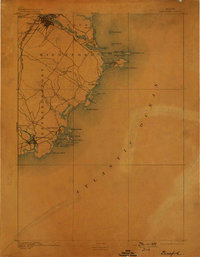
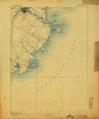
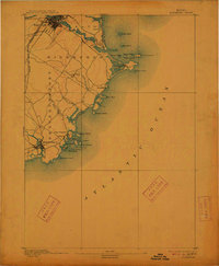
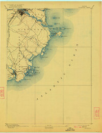
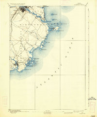
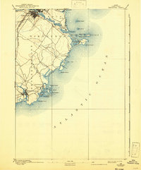
The Saco River serves as the industrial and geographic anchor of this coastal region, where the urban center of Biddeford is defined by a complex network of streets and the dual lines of the Boston and Maine Railroad Eastern Division and the Western Division. At the mouth of the river, Camp Ellis and the sands of Ferry Beach give way to a rugged coastline dotted with maritime safeguards, including the Wood Island Light and Goat Island Light. Further south, the map details the intricate inlets and islands surrounding Kennebunkport and Cape Porpoise. This landscape reflects a late nineteenth-century transition where traditional seafaring and rail-driven commerce met the early development of coastal retreats like Bay View and Biddeford Pool. The map documents numerous smaller landmarks, from the farms of Oak Ridge to the tidal reaches of Fletcher Neck and Goose Fair Bay.
Find a feature on this map
41 named features on this map. Tap any name to fly to it.
Don’t see what you’re looking for? This feature index may not catch every label — zoom into the map to look around manually.
Map Details
Editions of this 1893 Biddeford Map
7 editions found
Other maps of this area

1891 · Portland
USGS Topo · 1:62,500

1891 · Biddeford
USGS Topo · 1:62,500

1891 · Kennebunk
USGS Topo · 1:62,500

1891 · Buxton
USGS Topo · 1:62,500

1892 · Buxton
USGS Topo · 1:62,500

1893 · Kennebunk
USGS Topo · 1:62,500

1893 · York
USGS Topo · 1:62,500

1893 · Portland
USGS Topo · 1:62,500

1893 · Casco Bay
USGS Topo · 1:62,500

1893 · Buxton
USGS Topo · 1:62,500