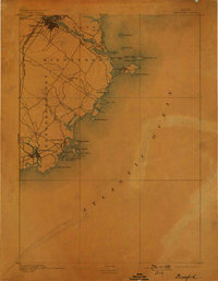
1893 Map of Biddeford
USGS Topo · Published 1898About this map
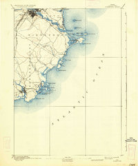
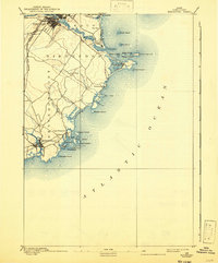
The Saco River defines the northern edge of this coastal landscape, where the industrial and rail hub of Biddeford transitions into a network of seaside villages and islands. In the late 19th century, the Boston and Maine Railroad Western Division and Eastern Division provided critical infrastructure for the region's growth, connecting inland markets to the harbor at Kennebunkport. Navigational safety for the active maritime trade is marked by Wood Island Light and Goat Island Light, which stand guard over a complex coastline of rocky necks and coves.
Find a feature on this map
41 named features on this map. Tap any name to fly to it.
Don’t see what you’re looking for? This feature index may not catch every label — zoom into the map to look around manually.
Map Details
Editions of this 1893 Biddeford Map
7 editions found
Other maps of this area

1891 · Portland
USGS Topo · 1:62,500

1891 · Biddeford
USGS Topo · 1:62,500

1891 · Kennebunk
USGS Topo · 1:62,500

1891 · Buxton
USGS Topo · 1:62,500

1892 · Buxton
USGS Topo · 1:62,500

1893 · Kennebunk
USGS Topo · 1:62,500

1893 · York
USGS Topo · 1:62,500

1893 · Biddeford
USGS Topo · 1:62,500

1893 · Portland
USGS Topo · 1:62,500

1893 · Casco Bay
USGS Topo · 1:62,500