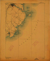
1893 Map of Biddeford
USGS Topo · Published 1912About this map
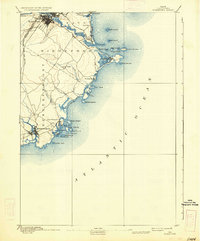
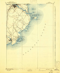
The Saco River flows into the Atlantic Ocean at the heart of this coastal survey, where the maritime and industrial identity of late 19th-century Maine is clearly visible. The city of Biddeford is shown in detail, concentrated near the river’s falls and served by two major rail lines: the Boston and Maine Railroad Western Division and the Eastern Division. These rail connections and the natural harbor at Biddeford Pool supported a thriving economy of manufacturing and sea trade. Down the coast, Kennebunkport and the fishing village of Cape Porpoise are surrounded by a complex archipelago of islands, including Stage Island and Vaughn Island. Safety for navigators of these rocky shores was provided by landmarks like the Wood Island Light and Goat Island Light, which stand watch over the many coves and inlets like Goose Fair Bay.
Find a feature on this map
40 named features on this map. Tap any name to fly to it.
Don’t see what you’re looking for? This feature index may not catch every label — zoom into the map to look around manually.
Map Details
Editions of this 1893 Biddeford Map
7 editions found
Other maps of this area

1891 · Portland
USGS Topo · 1:62,500

1891 · Biddeford
USGS Topo · 1:62,500

1891 · Kennebunk
USGS Topo · 1:62,500

1891 · Buxton
USGS Topo · 1:62,500

1892 · Buxton
USGS Topo · 1:62,500

1893 · Kennebunk
USGS Topo · 1:62,500

1893 · York
USGS Topo · 1:62,500

1893 · Biddeford
USGS Topo · 1:62,500

1893 · Portland
USGS Topo · 1:62,500

1893 · Casco Bay
USGS Topo · 1:62,500