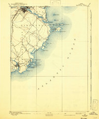
1893 Map of Biddeford
USGS Topo · Published 1942About this map
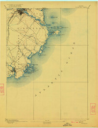
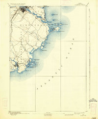
The industrial centers of Biddeford and Saco dominate the northern landscape of this late nineteenth-century survey, where the Saco River meets the sea. Coastal life is intricately detailed along the jagged shoreline of Fletcher Neck and the protected waters of Biddeford Pool, marked by critical navigational aids like Wood Island Light. The region’s development is tied closely to the arrival of the Boston and Maine Railroad Western Division, which spurred the growth of seasonal destinations such as Ocean Park and Bay View.
Find a feature on this map
44 named features on this map. Tap any name to fly to it.
Don’t see what you’re looking for? This feature index may not catch every label — zoom into the map to look around manually.
Map Details
Editions of this 1893 Biddeford Map
7 editions found
Other maps of this area

1891 · Portland
USGS Topo · 1:62,500

1891 · Biddeford
USGS Topo · 1:62,500

1891 · Kennebunk
USGS Topo · 1:62,500

1891 · Buxton
USGS Topo · 1:62,500

1892 · Buxton
USGS Topo · 1:62,500

1893 · Kennebunk
USGS Topo · 1:62,500

1893 · York
USGS Topo · 1:62,500

1893 · Biddeford
USGS Topo · 1:62,500

1893 · Portland
USGS Topo · 1:62,500

1893 · Casco Bay
USGS Topo · 1:62,500