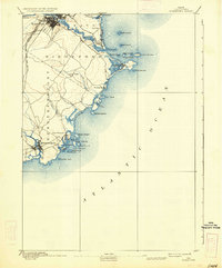
1893 Map of Biddeford
USGS Topo · Published 1936About this map
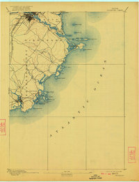
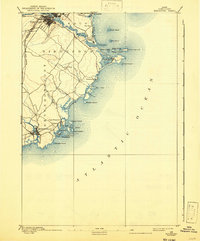
The manufacturing and maritime hub of Biddeford and its neighbor Saco dominate the northern landscape of this late 19th-century survey. The detailed street grids and industrial density of these twin cities contrast sharply with the intricate, island-strewn coastline to the south. Significant rail infrastructure is mapped, showing both the Boston and Maine Railroad Eastern Division and the Western Division converging to support the region's textile and commerce economy. Along the Atlantic Ocean, the map documents established seaside communities and resort areas like Old Orchard, Ocean Park, and Biddeford Pool. Navigation is anchored by maritime landmarks including Wood Island Light and Goat Island Light, which guided vessels past hazards like Stage Island and into the sheltered waters of Cape Porpoise. This survey captures the York County shoreline before modern coastal development, when small inlets like Curtis Cove and the reaches of the Batson River remained largely undeveloped.
Find a feature on this map
44 named features on this map. Tap any name to fly to it.
Don’t see what you’re looking for? This feature index may not catch every label — zoom into the map to look around manually.
Map Details
Editions of this 1893 Biddeford Map
7 editions found
Other maps of this area

1891 · Portland
USGS Topo · 1:62,500

1891 · Biddeford
USGS Topo · 1:62,500

1891 · Kennebunk
USGS Topo · 1:62,500

1891 · Buxton
USGS Topo · 1:62,500

1892 · Buxton
USGS Topo · 1:62,500

1893 · Kennebunk
USGS Topo · 1:62,500

1893 · York
USGS Topo · 1:62,500

1893 · Biddeford
USGS Topo · 1:62,500

1893 · Portland
USGS Topo · 1:62,500

1893 · Casco Bay
USGS Topo · 1:62,500